Le Plessis-Grohan, Rural commune in Évreux arrondissement, Eure department, France.
Le Plessis-Grohan covers approximately 18.28 square kilometers at elevations between 130 and 162 meters above sea level, with geographical coordinates placing it at latitude 48°57′15″N and longitude 1°07′26″E in the Normandy region.
The commune experienced significant demographic changes throughout the 20th century, with its population growing from 276 residents in 1962 to a peak of 746 inhabitants in 2008 before stabilizing around 928 residents by 2022.
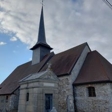
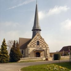
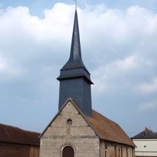
The local administrative structure includes a coat of arms that represents the commune's heritage and identity, while the area maintains traditional Norman rural characteristics within the broader cultural landscape of the Eure department.
Residents can access municipal services at the town hall located in Hameau Garel on route de Damville, with postal services operating under code 27180 and the commune following Central European Time with daylight saving adjustments.
Le Plessis-Grohan maintains one of the lowest population densities in its region at approximately 110 inhabitants per square kilometer, creating a distinctly rural living environment despite its proximity to the larger city of Évreux.
The community of curious travelers
AroundUs brings together thousands of curated places, local tips, and hidden gems, enriched daily by 60,000 contributors worldwide.