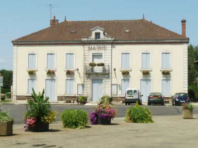
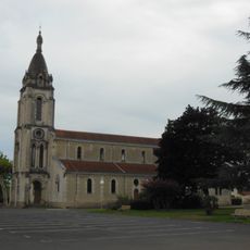
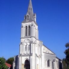
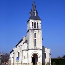
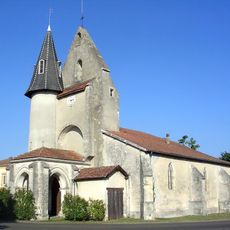
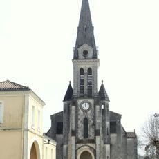
Sabres, Rural commune in Landes department, France
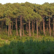
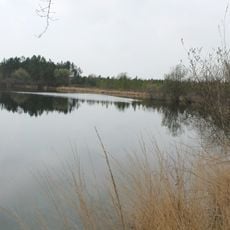
Sabres is a rural commune in the Landes department in the Nouvelle-Aquitaine region, surrounded by extensive pine forests and natural waterways. The settlement is spread across a large area and characterized by its forestry and agricultural landscape.
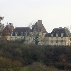
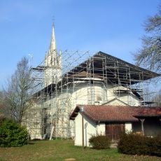
Napoleon III acquired portions of the territory to establish his imperial domain of Solferino, which became an independent municipality in 1863. This development was part of broader efforts to transform and settle the Landes region during the 19th century.
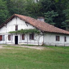
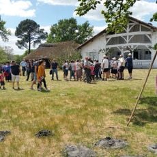
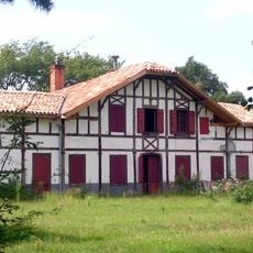
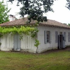
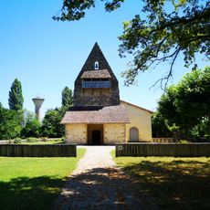
The Marquèze Ecomuseum displays traditional homes and crafts from the Landes region, allowing visitors to see how people lived and worked in earlier times. The reconstructed buildings show the practical ways locals organized their daily lives around farming and forestry.
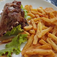
The area is sparsely populated and dominated by forestry and agriculture, so a car is useful for exploring the region. Few shops and services are available directly in the settlement, so it is wise to bring supplies or purchase them in larger nearby towns.
A standing stone called Pierre de Grimann sits in the southern forest and features in local folklore passed down through generations. The stone remains a quiet reminder of the prehistoric settlement of this heavily forested landscape.
Location: canton of Sabres
Location: Landes
Location: arrondissement of Mont-de-Marsan
Elevation above the sea: 76 m
Industry: administration publique générale
Shares border with: Arengosse, Commensacq, Labrit, Luglon, Luxey, Morcenx-la-Nouvelle, Solférino, Trensacq, Vert, Sore
Address: 24 place Gambetta, 40630 Sabres
Phone: +33558075018
Email: contact@mairie-sabres.fr
Website: https://mairie-sabres.fr
GPS coordinates: 44.14806,-0.73972
Latest update: December 10, 2025 16:22
Landes forest
13.1 km
Marquèze
4.1 km
Ecomusée de Marquèze
628 m
Château de Castillon
16.5 km
Église Sainte-Eugénie de Solférino
12.6 km
Réserve naturelle nationale d'Arjuzanx
18.5 km
Ferme de Pouy
13.4 km
Musée des forges de Brocas
19.7 km
Église Saint-Michel
67 m
Maison de Félix Arnaudin
16.5 km
Lagunes de Brocas
17.8 km
Église Saint-Jacques de Labouheyre
16.1 kmÉglise de Garein
13.4 km
Église Saint-Jean-Baptiste d'Arjuzanx
17.6 km
Crèche de Commensacq
9.6 kmChapelle Notre-Dame-d'Arosse
16.3 km
Église Notre-Dame d'Arengosse
16.3 km
Brémontier
16.2 km
Église Saint-Martin de Commensacq
9.6 km
Plage de Peyre
15 km
Graine de Forêt
13.4 km
Église Saint-Vincent-de-Paul de Morcenx
18.9 km
Église Saint-Pierre de Pissos
18.1 km
Église Saint-Vincent de Vert
14.3 km
1914-1918 war memorial
16.4 km
Église Saint-Laurent-et-Saint-Girons de Luglon
7.3 km
Église de Trensacq
7.4 km
Église Notre-Dame du Mont-Carmel du Sen
19.2 kmVisited this place? Tap the stars to rate it and share your experience / photos with the community! Try now! You can cancel it anytime.
Discover hidden gems everywhere you go!
From secret cafés to breathtaking viewpoints, skip the crowded tourist spots and find places that match your style. Our app makes it easy with voice search, smart filtering, route optimization, and insider tips from travelers worldwide. Download now for the complete mobile experience.
A unique approach to discovering new places❞
— Le Figaro
All the places worth exploring❞
— France Info
A tailor-made excursion in just a few clicks❞
— 20 Minutes