
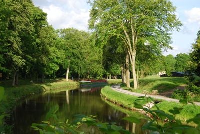
Canal d'Ille-et-Rance, Summit level canal in Brittany, France.
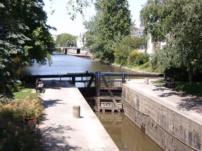
The Canal d'Ille-et-Rance is a summit level waterway running roughly 79 kilometers through Brittany and connecting Dinan to Rennes. The system includes 47 locks and maintains its water level at around 65 meters elevation, with a 7-kilometer section linking the Atlantic to the English Channel.
Construction started in 1804 under Napoleon's orders but faced several delays before a private company took over and finished the work. The official opening came in 1832, completing an ambitious waterway project.
The waterway features distinctive lock houses with granite frames and four-sloped roofs, remnants of work begun under Napoleon that shaped how locals lived along its banks. Visitors can see these buildings still standing at regular intervals, marking the rhythm of life that once centered on boat traffic.
Boats must travel at speeds around 6 kilometers per hour along this route, and passing through locks requires careful timing. Check lock schedules before you go, since they operate on fixed times during daylight hours.
The waterway crosses a 7-kilometer plateau that connects two different river systems, making it a remarkable piece of engineering for its era. This direct link between the Atlantic and English Channel was a technical achievement worth noting.
Location: Brittany
Inception: 1804
Official opening: October 5, 1832
Elevation above the sea: 0 m
GPS coordinates: 48.49140,-2.00200
Latest update: December 6, 2025 16:02
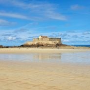
Saint-Malo is a seaside town where stone is everywhere. Strong city walls surround the old part. Gray granite streets lead down to the harbor. Sand beaches stretch along the walls. Walking on the walls, you see the bay and islands on the horizon. Fort National sits on its island, reachable at low...
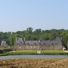
Château de la Ville Huchet
3.5 km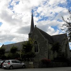
Église Saint-Pierre de Taden.
2 km
Mordreuc
3 km
Maison d'artiste de la Grande Vigne
4.1 km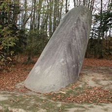
Menhir de la Tiemblais
1.2 km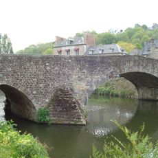
Vieux pont de Dinan
4.7 km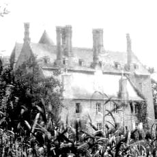
Château de la Bellière
2.3 km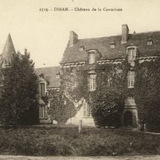
Château de la Conninais
4.3 km
Manoir de la Grand-Cour
2.1 km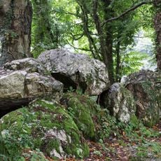
Allée couverte de Bel Evan
4.6 km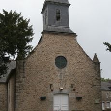
Église Saint-Samson de Saint-Samson-sur-Rance
2.2 km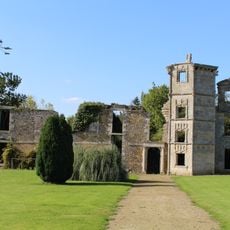
Château de la Garaye
4.2 km
Allée couverte du Bois du Rocher
2.9 km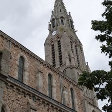
Église Notre-Dame de Pleudihen-sur-Rance
4.3 km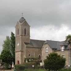
Église Sainte-Anne de La Vicomté-sur-Rance
1.6 km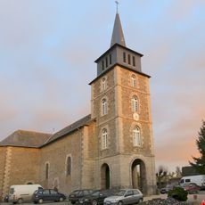
Église Saint-Méen de Lanvallay
4.4 km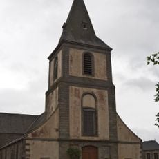
Église Saint-Pierre-et-Saint-Paul de Plouër-sur-Rance
4 km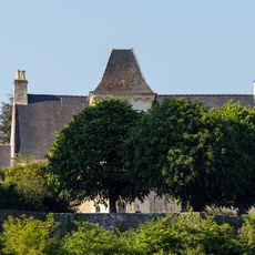
Manoir du Châtelier-Guitrel
1 km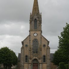
Église Saint-Hélen de Saint-Hélen
3.9 km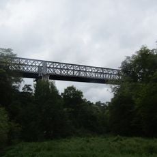
Viaduc de la Fontaine-des-Eaux
3.8 km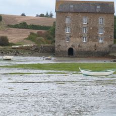
Mordreuc tide mill
3.3 km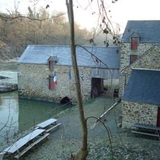
Le Prat tide mill
1.8 km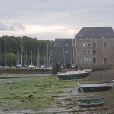
Plouër tide mill
4.1 km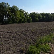
Site gallo-romain des Boissières
1.7 km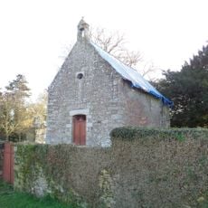
Chapelle du manoir du Chêne Vert
2.5 km
Maison, 51 rue du Petit-Fort
4.7 km
Site gallo-romain de l'Asile des Pêcheurs
2.4 km
Maison, 74 rue du Petit-Fort
4.7 kmVisited this place? Tap the stars to rate it and share your experience / photos with the community! Try now! You can cancel it anytime.
Discover hidden gems everywhere you go!
From secret cafés to breathtaking viewpoints, skip the crowded tourist spots and find places that match your style. Our app makes it easy with voice search, smart filtering, route optimization, and insider tips from travelers worldwide. Download now for the complete mobile experience.

A unique approach to discovering new places❞
— Le Figaro
All the places worth exploring❞
— France Info
A tailor-made excursion in just a few clicks❞
— 20 Minutes