
Parcoul, former commune in Dordogne, France
Location: Dordogne
Location: arrondissement of Périgueux
Elevation above the sea: 58 m
Shares border with: Médillac
GPS coordinates: 45.20500,0.03556
Latest update: May 31, 2025 11:30
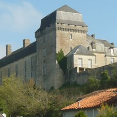
Château de Chalais
7.6 km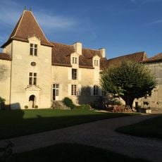
Château de Bonnes
9.8 km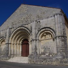
Église Saint-Martial de Chalais
7.8 km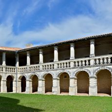
Cloister of Chalais
7.8 km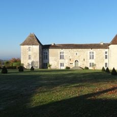
Château de Puymangou
3.5 km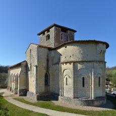
Église Saint-Quentin de Saint-Quentin-de-Chalais
6.4 km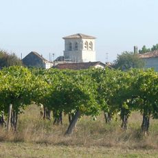
Église Saint-Laurent (Médillac)
3.1 km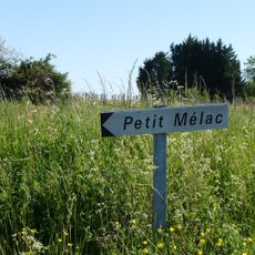
Commanderie de Mélac
8.7 km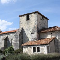
Église Saint-Antoine de La Genétouze
5.2 km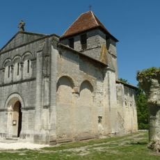
Église Saint-Pierre-et-Saint-Paul de Chenaud
5.6 km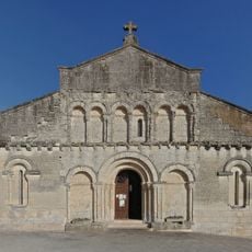
Église Sainte-Eulalie de Saint-Aulaye
8 km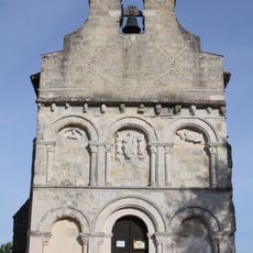
Église Saint-Michel de Saint-Michel-de-Rivière
9.1 km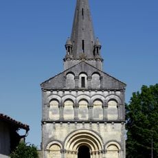
Église Saint-Eutrope de Rioux-Martin
5.5 km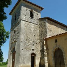
Église Saint-Martin (Parcoul)
214 m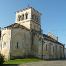
Église Saint-Martin de Bazac
3.3 km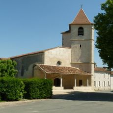
Église Saint-Pierre-et-Sainte-Radegonde de Bonnes
9.8 km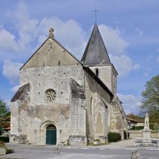
Église Notre-Dame d'Yviers
8.3 km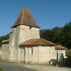
Église Saint-Avit de Saint-Avit
4.9 km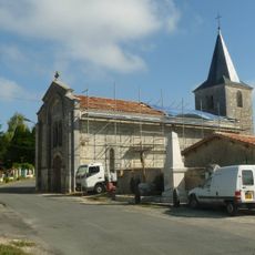
Église Sainte-Marie
9.1 km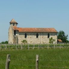
Église Saint-Étienne de Puymangou
3.7 km
Église Saint-Jean-Baptiste de Rouffiac
7.9 km
Église Notre-Dame-de-l'Assomption de La Roche-Chalais
6.3 km
Église Saint-Adorateur d'Orival
8.4 km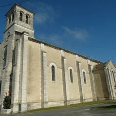
Église Saint-Christophe
7.3 km
Chapelle Notre-Dame de Chalais
7.4 km
Église Saint-Michel de Saint-Michel-l'Écluse
7.8 km
Église Saint-Pierre des Essards
7.5 km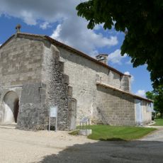
Église Sainte-Madeleine de Boscamnant
8.2 kmReviews
Visited this place? Tap the stars to rate it and share your experience / photos with the community! Try now! You can cancel it anytime.
Discover hidden gems everywhere you go!
From secret cafés to breathtaking viewpoints, skip the crowded tourist spots and find places that match your style. Our app makes it easy with voice search, smart filtering, route optimization, and insider tips from travelers worldwide. Download now for the complete mobile experience.

A unique approach to discovering new places❞
— Le Figaro
All the places worth exploring❞
— France Info
A tailor-made excursion in just a few clicks❞
— 20 Minutes