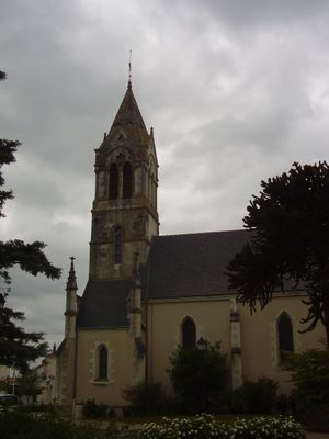
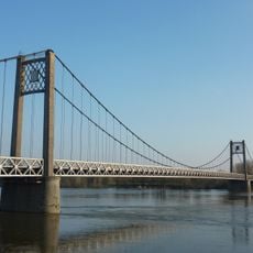
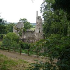
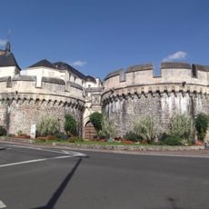
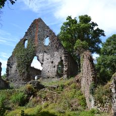
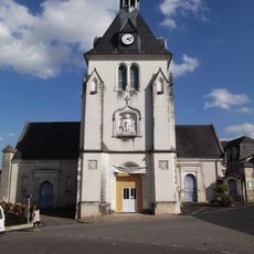
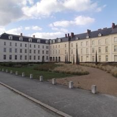
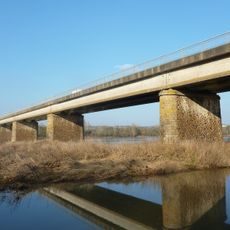
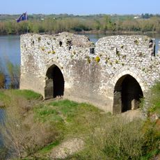
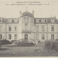
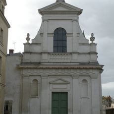
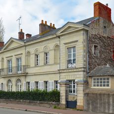
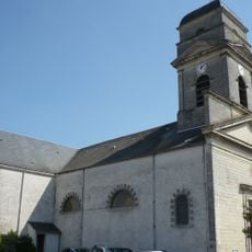
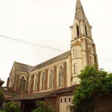
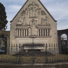
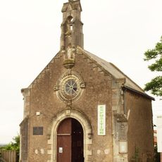
Saint-Géréon, commune in Loire-Atlantique, France
Location: Loire-Atlantique
Location: Arrondissement of Châteaubriant-Ancenis
Elevation above the sea: 30 m
Shares border with: Ancenis, Couffé, Oudon, Drain
Website: http://saint-gereon.fr
GPS coordinates: 47.36917,-1.19833
Latest update: June 12, 2025 00:22
Pont suspendu d'Ancenis
1.8 km
Château de la Turmelière
4 km
Château d'Ancenis
1.7 km
Champtoceaux Castle
6.5 km
Vieille Cour Castle
6.6 km
Église Saint-Pierre d'Ancenis
1.8 km
Couvent des Ursulines
895 m
Pont de Champtoceaux
6.8 km
Villa d’Omblepied
3.3 km
Hanging mill in Champtoceaux
6.6 km
Menhirs des Pierres Meslières
1.9 km
La Pierre Couvretière dolmen
1.9 km
Château de Juigné
3.5 km
Chapelle des Ursulines
875 m
Île Neuve-Macrière
3.6 km
Villa de la Douvelière
1.8 km
Moulin de la Quétraye
6.9 km
Menhir de Juigné
3.3 km
Église Sainte-Marie-Madeleine de Champtoceaux
6.2 km
Joachim du Bellay
1.7 km
Église Notre-Dame de Liré
3.9 km
Église Saint-Géréon de Saint-Géréon
56 m
Town hall of Ancenis-Saint-Géréon
1.6 km
Chapelle Gauvin
3.6 km
Église Notre-Dame de Drain
3.3 km
Chapelle Notre-Dame-de-la-Délivrance d'Ancenis
1.8 km
Chapelle Sainte Apolline de Drain
3.2 km
Menhir de la Gréserie
3.4 kmReviews
Visited this place? Tap the stars to rate it and share your experience / photos with the community! Try now! You can cancel it anytime.
Discover hidden gems everywhere you go!
From secret cafés to breathtaking viewpoints, skip the crowded tourist spots and find places that match your style. Our app makes it easy with voice search, smart filtering, route optimization, and insider tips from travelers worldwide. Download now for the complete mobile experience.
A unique approach to discovering new places❞
— Le Figaro
All the places worth exploring❞
— France Info
A tailor-made excursion in just a few clicks❞
— 20 Minutes