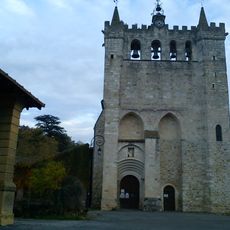
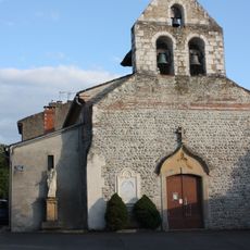
Cazères, Administrative commune in Haute-Garonne, France
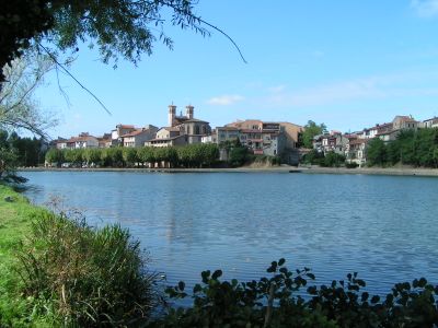
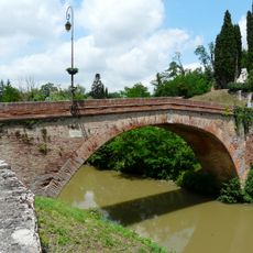
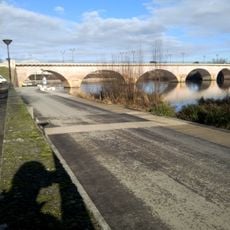
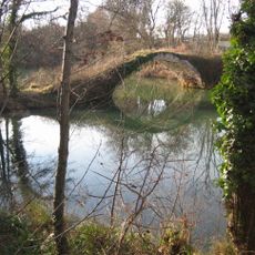
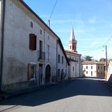
Cazères is a commune in Haute-Garonne located along the Garonne River, positioned between Toulouse and the Pyrenees with railway connections to major cities. The town sits in a region of varying elevations and borders several neighboring communities.
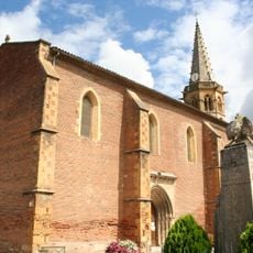
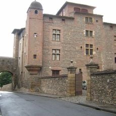
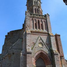
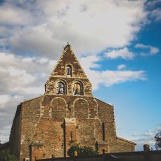
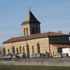
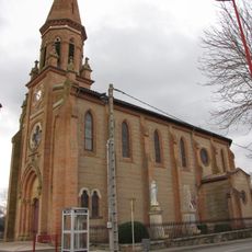
The community traces its origins to medieval times and developed into an administrative center for the region. The arrival of railway connections in the 19th century reinforced its role as a transportation hub.
The local France Services office maintains strong connections with eleven national partners, facilitating administrative processes for the community of 4,781 residents.
The local France Services office provides assistance with administrative matters including health insurance, retirement benefits, and family allocations. The office operates on weekdays and is located on rue de la Case.
The municipality borders nine different communes, creating a network of interconnected communities along the Garonne River at elevations between 215 and 362 meters.
Location: Haute-Garonne
Location: arrondissement of Muret
Elevation above the sea: 250 m
Shares border with: Lavelanet-de-Comminges, Couladère, Le Fousseret, Gensac-sur-Garonne, Mondavezan, Palaminy, Saint-Christaud, Saint-Julien-sur-Garonne, Saint-Michel
Address: Place de l'Hôtel-de-Ville, 31220 Cazères
Phone: +33561984600
Email: contact@mairie-cazeres.fr
Website: http://mairie-cazeres.fr
GPS coordinates: 43.20639,1.08583
Latest update: December 7, 2025 20:21
Château de Saint-Élix-le-Château
9 km
Chiragan Roman villa
5.9 km
Rieux Cathedral
11.1 km
Église de l'Assomption de Cazères
125 m
Église Saint-Vidian
6.1 km
Château de Palaminy
1.5 km
Pont de Lajous
11.2 km
La Tourasse
10.9 km
Pont de Cazères
307 m
Église Saint-Pierre-ès-Liens du Fousseret
8.5 km
Maison Laguens
11.1 km
Église Saint-Christophe de Saint-Christaud
3.9 km
Église Saint-Pierre du Plan
5.3 km
Église Saint-Vincent de Couladère
645 m
Église Saint-Jean-Baptiste de Lescuns
7.1 km
Église Saint-Exupère de Sana
6.4 km
Pont du Diable
2.1 km
Église Saint-Martin de Mauran
4.8 km
Église Saint-Michel de Mondavezan
5.3 km
Église Saint-Jean-Baptiste de Montberaud
7.2 km
Église Saint-Barthélemy de Lavelanet-de-Comminges
6.1 km
Église Saint-Pierre de Salles-sur-Garonne
10.7 km
Maison, 5 place de Lastic
11.1 km
Église Saint-Jean-Baptiste de Goutevernisse
7.2 km
Pyramide de démarcation de la Guyenne et du Languedoc
8.8 km
Maison, entre le 3 et le 5 place de Lastic
11.1 km
Pont de Saint-Julien-sur-Garonne
7 km
Chapelle Saint-Vincent de Couladère
1.5 kmVisited this place? Tap the stars to rate it and share your experience / photos with the community! Try now! You can cancel it anytime.
Discover hidden gems everywhere you go!
From secret cafés to breathtaking viewpoints, skip the crowded tourist spots and find places that match your style. Our app makes it easy with voice search, smart filtering, route optimization, and insider tips from travelers worldwide. Download now for the complete mobile experience.
A unique approach to discovering new places❞
— Le Figaro
All the places worth exploring❞
— France Info
A tailor-made excursion in just a few clicks❞
— 20 Minutes