Saint-Didier-sur-Rochefort

Log in to your account

AroundUs is a community-driven map of interesting places, built by curious explorers like you. It grows with every review, story, and photo you share.
Connect to save your favorite spots, contribute locations, and create personalized routes.
Continue with Google
Continue with Apple
Continue with X
Continue with Facebook
Continue with email
By continuing, you accept our Terms and Conditions and our Privacy Policy
Create an account
Add to collection
Map
Suggest a change
Share

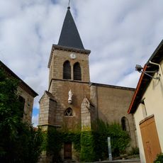
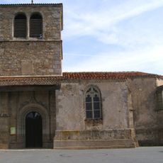
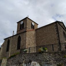
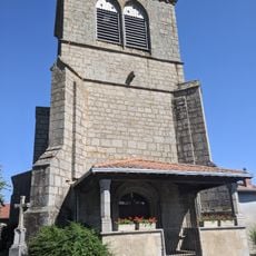
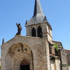
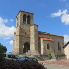
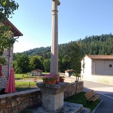
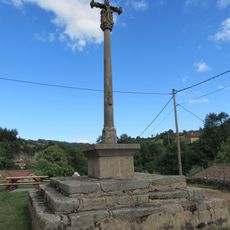
Saint-Didier-sur-Rochefort, Rural commune in Loire department, France.

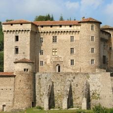
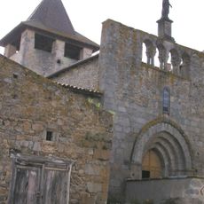
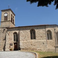
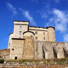
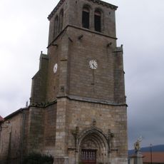
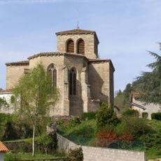
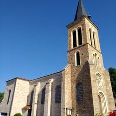
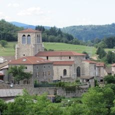
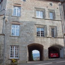
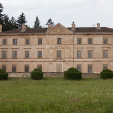
Saint-Didier-sur-Rochefort is a small rural commune situated in the Loire highlands, spreading across rolling terrain with traditional stone buildings and farmland. The settlement sits at roughly 900 meters elevation, surrounded by green hills and country lanes that weave through the landscape.

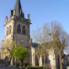
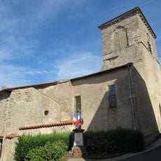
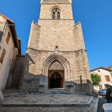
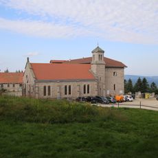
The village developed as a traditional settlement in the highlands and reflects centuries of rural mountain life in its buildings and layout. Like many countryside areas, it experienced steady population decline during the 20th century as residents moved toward larger urban centers.

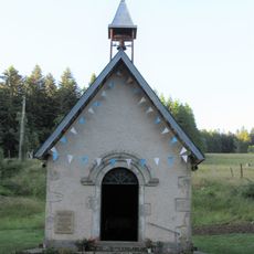
Local celebrations and festivals throughout the year maintain the traditions of the Loire region, connecting residents with their agricultural heritage.

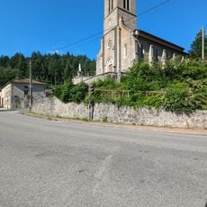
The place is reachable by public transport from nearby Montbrison and offers a quiet stay in the highland landscape. Visitors should prepare for changing weather and bring suitable footwear since paths cross through hilly terrain.

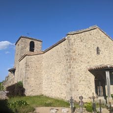
The village territory spans across varying elevations, creating small-scale climate zones and different vegetation patterns within short distances. These height variations shape both the landscape appearance and how traditional farming practices differ across different sections of the settlement.

Location: canton of Noirétable

Location: Loire

Location: arrondissement of Montbrison

Location: Loire Forez Agglomération

Elevation above the sea: 685 m

Shares border with: La Valla-sur-Rochefort, La Côte-en-Couzan, Saint-Jean-la-Vêtre, Saint-Just-en-Bas, Saint-Laurent-Rochefort, Saint-Priest-la-Vêtre, Vêtre-sur-Anzon

Address: 1 montée du Champs-de-Foire, 42111 Saint-Didier-sur-Rochefort

Phone: +33477979051

Email: secretariat.mairie@stdidier.fr

GPS coordinates: 45.79333,3.84500

Latest update: December 12, 2025 17:43

Photos
Reviews

Visited this place? Tap the stars to rate it and share your experience / photos with the community! Try now! You can cancel it anytime.

« Saint-Didier-sur-Rochefort - Rural commune in Loire department, France » is provided by Around Us (aroundus.com). Images and texts are derived from Wikimedia project under a Creative Commons license. You are allowed to copy, distribute, and modify copies of this page, under the conditions set by the license, as long as this note is clearly visible.

Discover hidden gems everywhere you go!

From secret cafés to breathtaking viewpoints, skip the crowded tourist spots and find places that match your style. Our app makes it easy with voice search, smart filtering, route optimization, and insider tips from travelers worldwide. Download now for the complete mobile experience.

Around Us App Screenshot

A unique approach to discovering new places

Le Figaro

All the places worth exploring

France Info

A tailor-made excursion in just a few clicks

20 Minutes