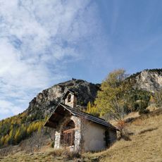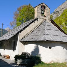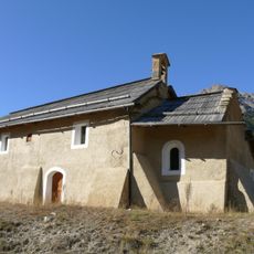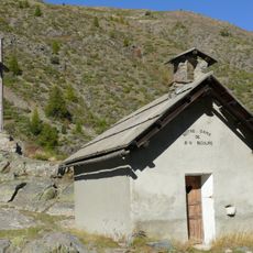
Col du Granon, Mountain pass in Saint-Chaffrey, France.
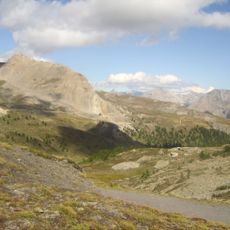
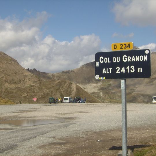
Col du Granon is a mountain pass in the Hautes-Alpes department at 2,404 m, though the road sign reads 2,413 m. A narrow tarmac road climbs from Saint-Chaffrey through the hamlets of Villard-Laté and Les Tronchets, with six hairpins and gradients up to 15%. Above the pass, an orientation table shows the Guisane valley, Briançon, La Meije and the Barre des Écrins.
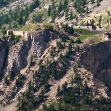
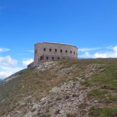
A small infantry work was built near the pass in the 1930s to prevent any flanking of the Briançon forts, in a period of tension with fascist Italy. No fighting took place there even during the 1940 defeat of 1940. The area later served as a training ground for the 7th battalion of alpine chasseurs, and military debris was cleared only from 2016. In 1986 the Tour de France finished here at 2,404 m, the race's highest summit finish until 2011.
The pass is named after the hamlet of Granon on its eastern side, above Val-des-Prés. On the southern climb, a small fountain stands at the entrance to the Tronchets hamlet, around 1,850 m, a known stop for cyclists. The summit sign reads 2,413 m, while the pass is actually 2,404 m.
The paved D234T from Saint-Chaffrey climbs 11.5 km at a 9% average gradient, with a short 15% ramp and a fountain at the Tronchets hamlet. The road is closed in winter. Beyond the pass, gravel tracks in a military training zone lead toward the Lenlon and Olive forts; the eastern approach from Val-des-Prés is largely unpaved and suited to mountain bikes.
The pass sign reads 2,413 m, but the summit is actually 2,404 m. The gravel road beyond the col leads to the forts of Lenlon and de l'Olive, and the surrounding slopes belong to a military training zone used by the 7th Alpine Chasseurs battalion.
The community of curious travelers
AroundUs brings together thousands of curated places, local tips, and hidden gems, enriched daily by 94,107 contributors worldwide.