
Venables, former commune in Eure, France
Location: Eure
Location: arrondissement of Les Andelys
Elevation above the sea: 63 m
Website: http://venables.free.fr
Website: http://venables.free.fr
GPS coordinates: 49.19917,1.29556
Latest update: June 16, 2025 09:09
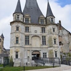
Château de Gaillon
4.9 km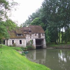
Moulin d'Andé
5.5 km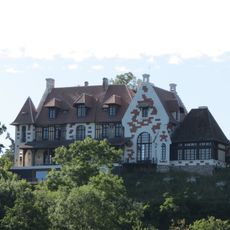
Domaine Louis Renault
5.6 km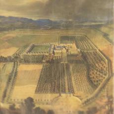
Chartreuse d'Aubevoye
4.7 km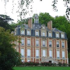
Château de Tournebut
3.1 km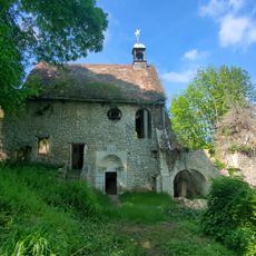
Chapelle de Bethléem
3.5 km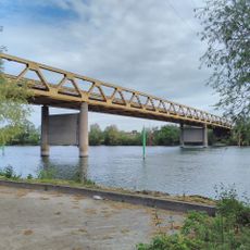
Courcelles-sur-Seine bridge
4.8 km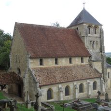
Église Saint-Georges d'Aubevoye
4.1 km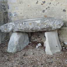
Dolmen d'Aubevoye
4 km
Château de Courtmoulin
4.5 km
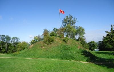
Motte féodale de Venables
190 m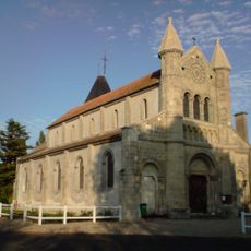
Église Saint-Hilaire de Muids
2.5 km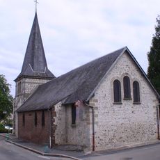
Église Notre-Dame-de-Bon-Secours de Courcelles-sur-Seine
5 km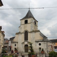
Église Saint-Ouen de Gaillon
5 km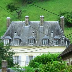
Grosmesnil Manor
3.3 km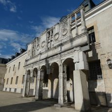
Galerie Nord-Est du château de Gaillon
4.9 km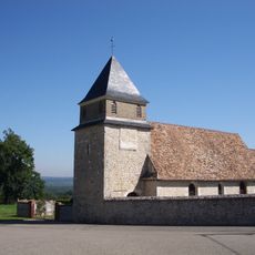
Église Saint-Ursin du Montier
1.5 km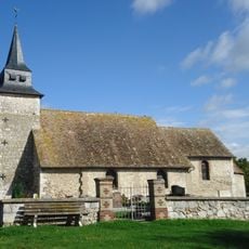
Église Saint-Denis de Bernières-sur-Seine
5 km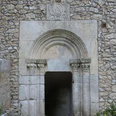
Crypt of the Bethleem chapel
3.5 km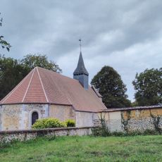
Église Sainte-Barbe de Sainte-Barbe-sur-Gaillon
4 km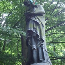
Black Madonna
4 km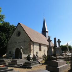
Église Notre-Dame d'Andé
5.3 km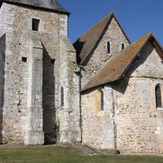
Église Notre-Dame de Venables
196 m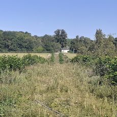
Château du Val-d'Ailly
2.6 km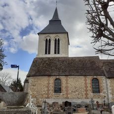
Église Saint-Valérien d'Heudebouville
4 km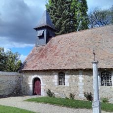
Église Saint-Denis de Vieux-Villez
3.1 km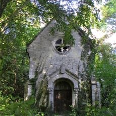
Chapelle Notre-Dame du Manoir de Tournebut
3 km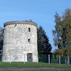
L'Hermitage's windmill
4.5 kmReviews
Visited this place? Tap the stars to rate it and share your experience / photos with the community! Try now! You can cancel it anytime.
Discover hidden gems everywhere you go!
From secret cafés to breathtaking viewpoints, skip the crowded tourist spots and find places that match your style. Our app makes it easy with voice search, smart filtering, route optimization, and insider tips from travelers worldwide. Download now for the complete mobile experience.

A unique approach to discovering new places❞
— Le Figaro
All the places worth exploring❞
— France Info
A tailor-made excursion in just a few clicks❞
— 20 Minutes