Enable Location

We need your location to show you interesting places around you

Discover nearby places

Find interesting locations and hidden gems around you

Precise directions

Get accurate directions and distances to places

Your location is never shared with other users. It's only used when you tap the location button.

Villeréal

Log in to your account

Start exploring — it's free

Trusted by 62,531 travelers worldwide

Continue with Google
Continue with Apple
or

We will send you a code to connect

By continuing, you accept our Terms and Conditions and our Privacy Policy

Check your inbox

We've sent a pincode in your inbox. Please enter the code below.

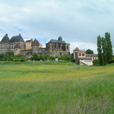
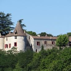
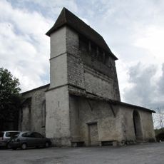
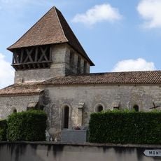
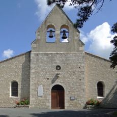
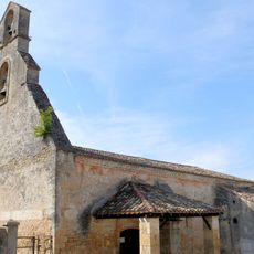
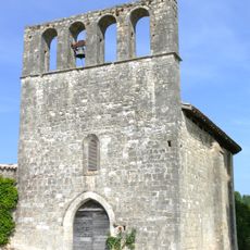
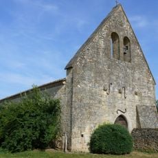
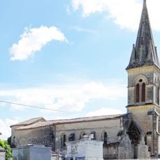
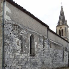
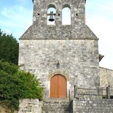
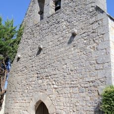
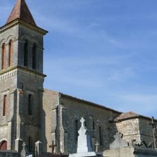
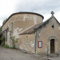
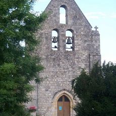
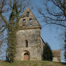
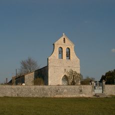
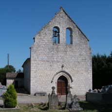
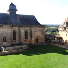
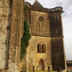
Villeréal, Medieval bastide town in Lot-et-Garonne, France.

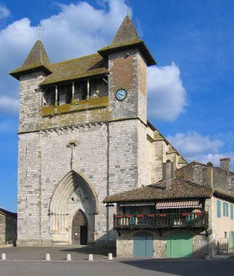
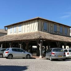
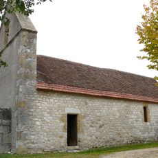
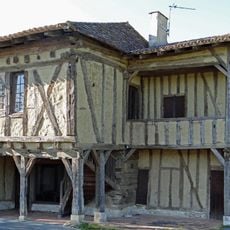
Villeréal displays a traditional medieval grid layout with eight perpendicular streets surrounding a central marketplace featuring a half-timbered market hall and exterior staircases leading to upper floors.

Founded in 1265 by Count Alphonse de Poitiers following a land grant from Gaston de Gontaut-Biron, Villeréal was occupied by English forces from 1279 to 1453 during the Hundred Years' War.

Designated as one of Les Plus Beaux Villages de France, the town maintains its Saturday market tradition established by King Edward I of England in 1288 through the Charte des Coutumes de la Cité.

Located at 103 meters elevation with Mayor Jean-Jacques Caminade leading governance since 2023, the commune covers 113.92 square kilometers and offers tourist information through the local office.

John Reps documented the village's evolution through comprehensive photography spanning from 1966 to 2010, creating an extensive visual archive of its architectural preservation and development over four decades.

The community of curious travelers

AroundUs brings together thousands of curated places, local tips, and hidden gems, enriched daily by 60,000 contributors worldwide.

Start exploring
Location
Elevation above the sea
103 m
Shares border with
Rives, Bournel, Dévillac, Mazières-Naresse, Montaut, Rayet, Saint-Étienne-de-Villeréal, Saint-Eutrope-de-Born, Saint-Martin-de-Villeréal
Address
Place de la Halle, 47210 Villeréal
Phone
GPS coordinates
44.63667,0.74306
Latest update
August 3, 2025 12:05
« Villeréal - Medieval bastide town in Lot-et-Garonne, France » is provided by Around Us (aroundus.com). Images and texts are derived from Wikimedia project under a Creative Commons license. You are allowed to copy, distribute, and modify copies of this page, under the conditions set by the license, as long as this note is clearly visible.

Discover hidden gems everywhere you go!

From secret cafés to breathtaking viewpoints, skip the crowded tourist spots and find places that match your style. Our app makes it easy with voice search, smart filtering, route optimization, and insider tips from travelers worldwide. Download now for the complete mobile experience.

Around Us App Screenshot

A unique approach to discovering new places

Le Figaro

All the places worth exploring

France Info

A tailor-made excursion in just a few clicks

20 Minutes

Around Us
Travel Guide & Maps
Download

Send to your phone

QR Code
1

Open the camera app on your mobile.

2

Point at the QR code with your camera. A notification will appear.

3

Tap the notification to open the link.