Enable Location

We need your location to show you interesting places around you

Discover nearby places

Find interesting locations and hidden gems around you

Precise directions

Get accurate directions and distances to places

Your location is never shared with other users. It's only used when you tap the location button.

La Tourette

Log in to your account

Start exploring — it's free

Trusted by 63,420 travelers worldwide

Continue with Google
Continue with Apple
or

We will send you a code to connect

By continuing, you accept our Terms and Conditions and our Privacy Policy

Check your inbox

We've sent a pincode in your inbox. Please enter the code below.

Discussion Reviews 1 Photos
1.9k Popularity

La Tourette, Mountain commune in Loire, France

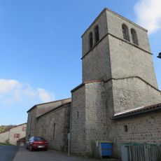
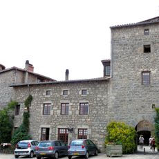
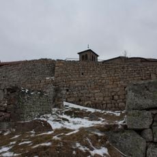
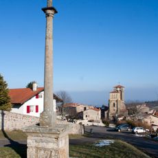
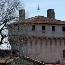
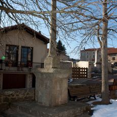
La Tourette is a small mountain village located at 872 meters elevation in the Loire department in the Auvergne-Rhône-Alpes region. The commune spreads across rolling terrain with typical rural structures found in French mountain areas.

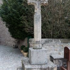
The commune developed as part of France's early administrative divisions and was later integrated into the current system as part of the canton of Saint-Bonnet-le-Château. Its evolution followed the traditional pattern of mountain villages that adjusted their administrative ties through successive French territorial reforms.

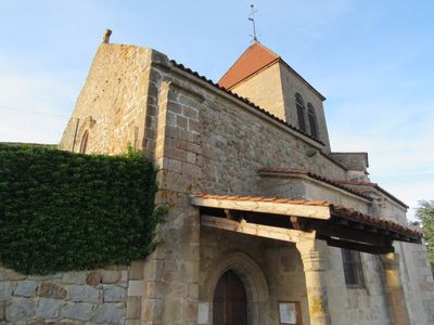
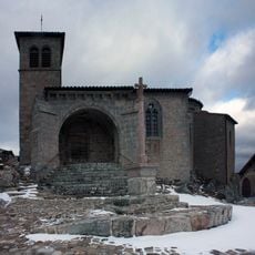
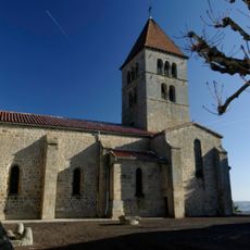
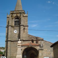
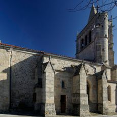
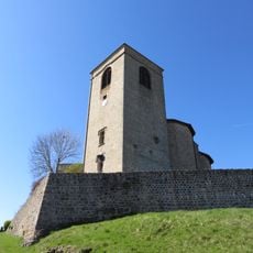
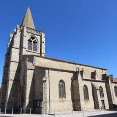
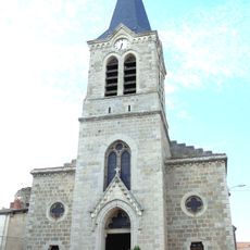
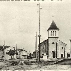
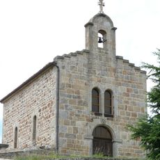
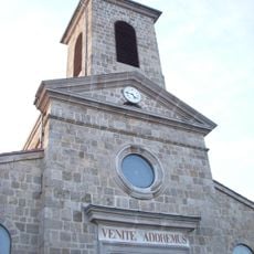
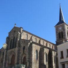
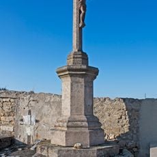
The local church serves as a gathering place where residents meet for celebrations and community events. These spaces remain central to how people experience village life.

A private car is necessary to visit the village, as this mountain area has limited public transportation connections. The winding mountain roads require careful driving, especially during winter months when snow and ice can be present.

The village's location at over 870 meters elevation creates its own climate that differs noticeably from lower areas of Loire. This altitude makes the region interesting for visitors interested in observing different plant and animal species.

The community of curious travelers

AroundUs brings together thousands of curated places, local tips, and hidden gems, enriched daily by 60,000 contributors worldwide.

Start exploring
Location
Location
arrondissement of Montbrison
Location
Loire Forez Agglomération
Elevation above the sea
872 m
Shares border with
Luriecq, Périgneux, Saint-Bonnet-le-Château, Saint-Nizier-de-Fornas
Address
1 rue de la Mairie, 42380 La Tourette
Phone
GPS coordinates
45.41472,4.08444
Latest update
December 14, 2025 11:24
Reviews
Share your experience

No review yet

Discussions
Start a discussion...

No discussion yet

« La Tourette - Mountain commune in Loire, France » is provided by Around Us (aroundus.com). Images and texts are derived from Wikimedia project under a Creative Commons license. You are allowed to copy, distribute, and modify copies of this page, under the conditions set by the license, as long as this note is clearly visible.

Discover hidden gems everywhere you go!

From secret cafés to breathtaking viewpoints, skip the crowded tourist spots and find places that match your style. Our app makes it easy with voice search, smart filtering, route optimization, and insider tips from travelers worldwide. Download now for the complete mobile experience.

Around Us App Screenshot

A unique approach to discovering new places

Le Figaro

All the places worth exploring

France Info

A tailor-made excursion in just a few clicks

20 Minutes

Around Us
Travel Guide & Maps
Download

Send to your phone

QR Code
1

Open the camera app on your mobile.

2

Point at the QR code with your camera. A notification will appear.

3

Tap the notification to open the link.