
Le Bois-d'Oingt, former commune in Rhône, France
Location: Rhône
Location: arrondissement of Villefranche-sur-Saône
Elevation above the sea: 325 m
Shares border with: Oingt, Saint-Laurent-d'Oingt, Saint-Vérand, Bagnols, Le Breuil, Légny, Moiré
Website: http://valdoingt.org
GPS coordinates: 45.92056,4.58528
Latest update: June 4, 2025 18:51
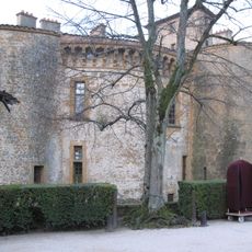
Château de Bagnols
1.9 km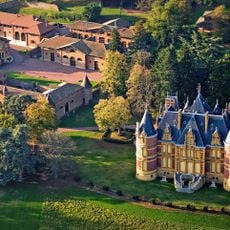
Château de la Flachère
2.8 km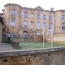
Château de Rochebonne
3.3 km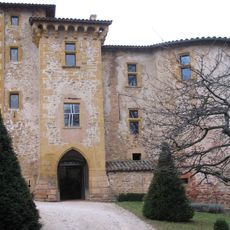
Château de Rapetour
2.7 km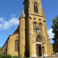
Église Saint-Antoine de Theizé
3.2 km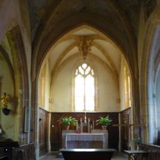
Église Saint-Blaise de Bagnols
1.8 km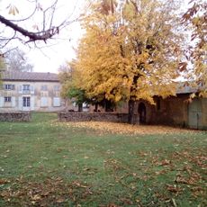
Clos de la Platière
3.6 km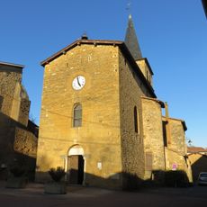
Église Saint-Austrégésile de Frontenas
2.6 km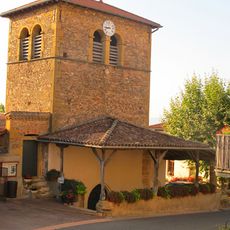
Église Saint-Laurent de Saint-Laurent-d'Oingt
3.2 km
Vieille église de Theizé
3.2 km
Église Saint-Vérand de Saint-Vérand
4.4 km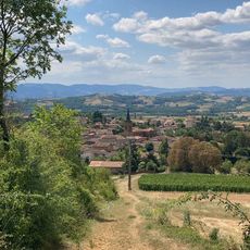
Vue sur Le Bois d'Oingt, Val d'Oingt
649 m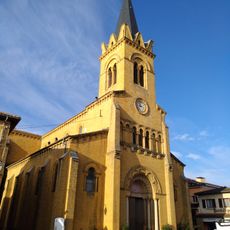
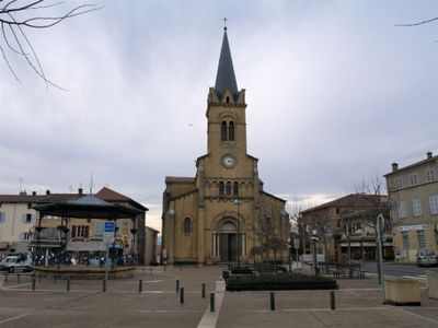
Église Saint-Martin du Bois-d'Oingt
96 m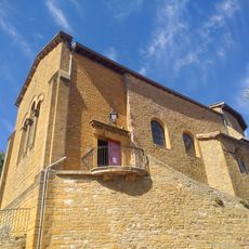
Église Saint-Mathieu de Oingt
3.1 km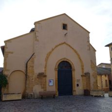
Ancienne église Saint-Martin du Bois-d'Oingt
95 m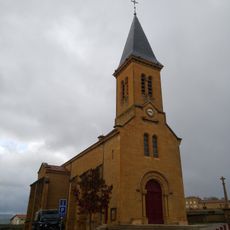
Église Saint-Pierre-et-Saint-Paul de Moiré
1.6 km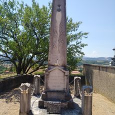
War memorial of Saint-Laurent-d'Oingt
3.3 km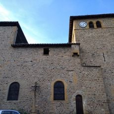
Église Saint-Pancrace du Breuil
2.9 km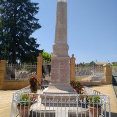
War memorial of Theizé
3.1 km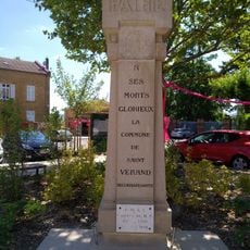
War memorial of Saint-Vérand
4.4 km
Château des Granges
2.2 km
Chapelle Saint-Roch de Bagnols
1.8 km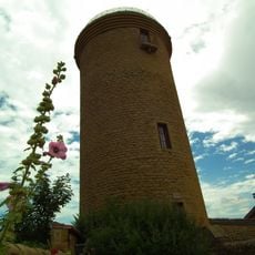
Tour d'Oingt
3 km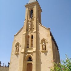
Chapelle Saint-Laurent de Saint-Laurent-d'Oingt
3.3 km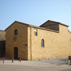
Chapelle Saint-Pierre de Moiré
1.6 km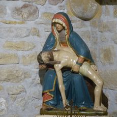
Vierge de Pitié
3.1 km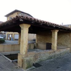
Lavoir de Frontenas
2.6 km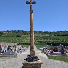
Croix du cimetière nouveau du Bois-d'Oingt
928 mVisited this place? Tap the stars to rate it and share your experience / photos with the community! Try now! You can cancel it anytime.
Discover hidden gems everywhere you go!
From secret cafés to breathtaking viewpoints, skip the crowded tourist spots and find places that match your style. Our app makes it easy with voice search, smart filtering, route optimization, and insider tips from travelers worldwide. Download now for the complete mobile experience.

A unique approach to discovering new places❞
— Le Figaro
All the places worth exploring❞
— France Info
A tailor-made excursion in just a few clicks❞
— 20 Minutes