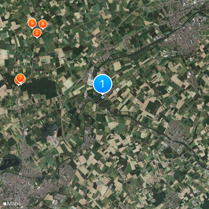
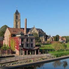
Deûle, Canal and river system in Pas-de-Calais, France
The Deûle is a canal and river system that runs through Pas-de-Calais, linking several communities along its route. It combines natural river channels with engineered waterways to form a continuous route for water transport and recreation.
The transformation of the waterway from a natural river into a navigable canal started in the 1200s and continued with gradual improvements over centuries. The most significant changes happened between the 1500s and 1700s, when locks and channels were built to support commercial traffic.
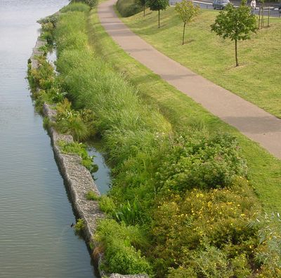
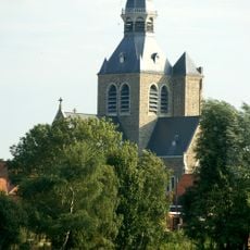
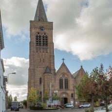
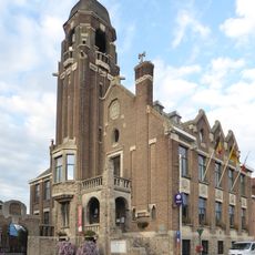
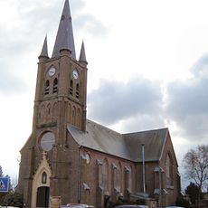
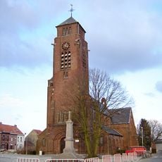
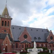
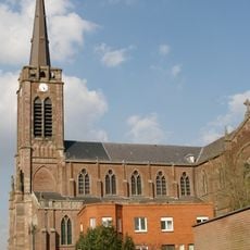
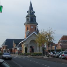
The waterway passes through several northern French towns and is woven into the daily life of local communities. Residents use the banks for leisure walks and the water itself draws people seeking a connection to the landscape.
The waterway is divided into sections with different depths and locks, meaning vessel size matters for certain stretches. The best time to navigate is during the warmer months when water levels are more consistent and locks operate regularly.
In some places, the waterway sits noticeably higher than the surrounding land, a visible reminder of past mining activity in the region. This elevation difference shapes how the landscape looks and tells the story of the area's industrial heritage.
The community of curious travelers
AroundUs brings together thousands of curated places, local tips, and hidden gems, enriched daily by 60,000 contributors worldwide.