
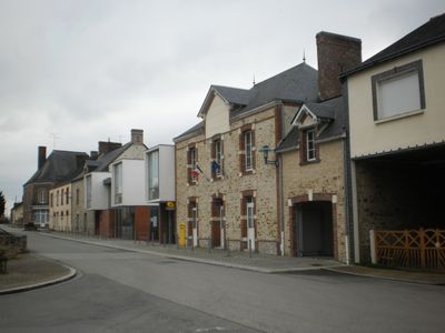
Villepot, commune in Loire-Atlantique, France
Location: Loire-Atlantique
Location: canton of Rougé
Location: Arrondissement of Châteaubriant-Ancenis
Elevation above the sea: 91 m
Shares border with: Martigné-Ferchaud, Carbay, Noyal-sur-Brutz, Soudan, Ombrée d'Anjou
Phone: +33240286620
Email: mairie.villepot@wanadoo.fr
Website: http://villepot.fr
GPS coordinates: 47.77528,-1.27750
Latest update: May 30, 2025 02:46

Château de Châteaubriant
9.4 km
Carrière des Fusillés
7.7 km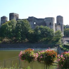
Castle of Pouancé
8.5 km
Château de Tressé
10 km
Église Saint-Jean de Béré
10 km
Église Saint-Nicolas de Châteaubriant
9.8 km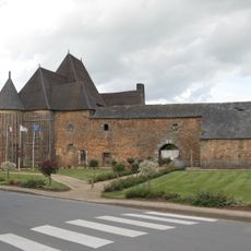
Château de Senonnes
6.2 km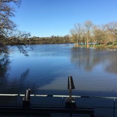
Étang de la Forge
7.4 km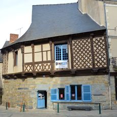
Maison dite de l'Ange
9.7 km
Église Sainte-Madeleine de Pouancé
8.5 km
Église Saint-Aubin de Pouancé
7.8 km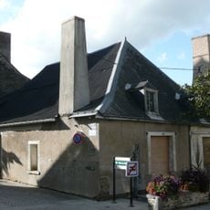
Grenier à sel de Pouancé
8.4 km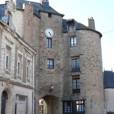
Tour de l'Horloge
8.5 km
Hôtel de la Houssaye
9.6 km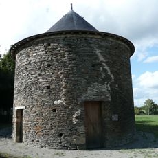
Pigeonnier de Pouancé
8.1 km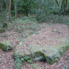
Pierre de la Chopinière
6.9 km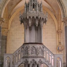
Martigné-Ferchaud church (pulpit)
6.8 km
Église Saint-Pierre de Martigné-Ferchaud
6.8 km
Église de l'Assomption de La Rouaudière
8.8 km
Église Saint-Hermeland de Saint-Erblon
8.3 km
Église Saint-Martin de Fercé
10.6 km
Église Saint-Martin d'Eancé
5.8 km
Église Saint-Pierre de Senonnes
6.1 km
Église Saint-Martin-de-Tours de Noyal-sur-Brutz
5.1 km
Église Saint-Pierre de Soudan
4.7 km
Église Saint-Martin de Carbay
6.5 km
Chapelle du château
9.5 km
The Four Evangelists
6.8 kmReviews
Visited this place? Tap the stars to rate it and share your experience / photos with the community! Try now! You can cancel it anytime.
Discover hidden gems everywhere you go!
From secret cafés to breathtaking viewpoints, skip the crowded tourist spots and find places that match your style. Our app makes it easy with voice search, smart filtering, route optimization, and insider tips from travelers worldwide. Download now for the complete mobile experience.

A unique approach to discovering new places❞
— Le Figaro
All the places worth exploring❞
— France Info
A tailor-made excursion in just a few clicks❞
— 20 Minutes