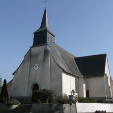
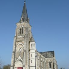
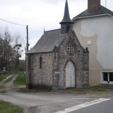
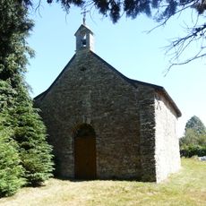
La Prévière, Delegated commune in Maine-et-Loire, France.
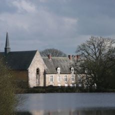
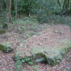
La Prévière covers 17.24 square kilometers of rolling rural countryside, crossed by the Verzée river forming its northeastern boundary, with elevations ranging from 47 to 100 meters above sea level in the western French countryside.
Originally an independent commune until 2016, La Prévière maintained its local administration within the Segré arrondissement and Pouancé canton before becoming a delegated commune of Ombrée d'Anjou during the administrative territorial reorganization.
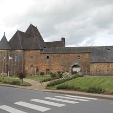
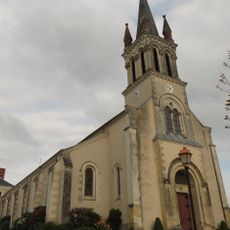
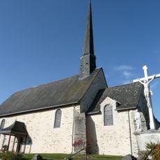
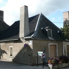
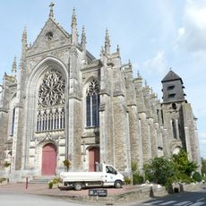
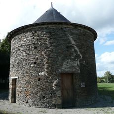
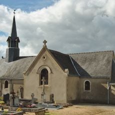
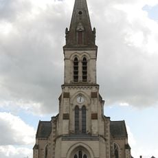
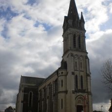
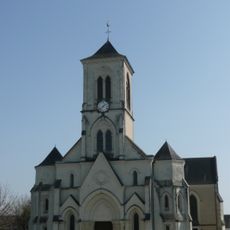
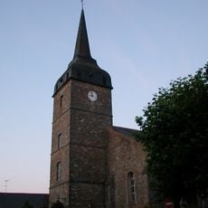
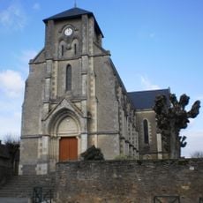
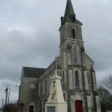
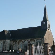
Residents known as Eperviers and Epervières preserve French rural traditions through local festivities, community events, and the maintenance of traditional stone architecture characteristic of the Pays de la Loire region's cultural heritage.
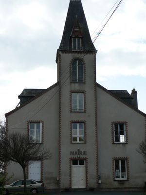
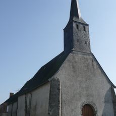
The town hall located at Place de l'Église handles administrative procedures Tuesday through Friday from 9:00 AM to 12:00 PM, while the Pouancé gendarmerie provides local security services for this commune with postal code 49420.
La Prévière maintains one of the lowest population densities in Maine-et-Loire with only 32 inhabitants per square kilometer, creating a preserved rural environment where traditional agricultural activities still dominate the local economic landscape.
Location: canton of Pouancé
Location: Maine-et-Loire
Location: arrondissement of Segré
Shares border with: Pouancé, Juigné-des-Moutiers, Armaillé, Carbay
Address: La Prévière, 49420 Ombrée d'Anjou, France 49420 Ombrée d'Anjou
GPS coordinates: 47.71750,-1.17778
Latest update: July 21, 2025 10:02
Castle of Pouancé
2.7 km
Château de Tressé
2.2 km
Prieuré de la Primaudière
2.4 km
Château de Senonnes
9.2 km
Église Sainte-Madeleine de Pouancé
2.5 km
Église Saint-Aubin de Pouancé
3.9 km
Grenier à sel de Pouancé
2.7 km
Église Saint-Julien de Saint-Julien-de-Vouvantes
9.5 km
Tour de l'Horloge
2.6 km
Château du Bois-Gélin
3.3 km
Pierre Frite
2.4 km
Pigeonnier de Pouancé
2.9 km
Pierre de la Chopinière
4.8 km
Église Notre-Dame de Challain-la-Potherie
7.9 km
Église Saint-Hermeland de Saint-Erblon
7.9 km
Église Saint-Pierre de Senonnes
9.2 km
Église Saint-Pierre-Saint-Paul de La Chapelle-Glain
10.7 km
Église Saint-Jean-Baptiste de Chazé-Henry
6.4 km
Église Saint-Pierre de Soudan
9.9 km
Église Saint-Pierre de Grugé-l'Hôpital
10.9 km
Église Saint-Martin-de-Tours de Vergonnes
7 km
Église Saint-Pierre de Juigné-des-Moutiers
4.3 km
Église Saint-Martin de Carbay
3.5 km
Église Saint-Michel de Saint-Michel-et-Chanveaux
5.5 km
Église Saint-Pierre de La Chapelle-Hullin
9.2 km
Église Saint-Pierre-Saint-Paul d'Armaillé
3.7 km
Chapelle Notre-Dame-du-Bon-Secours
9.5 km
Chapelle Saint-Barthélemy du prieuré du Dougilard
7.6 kmReviews
Visited this place? Tap the stars to rate it and share your experience / photos with the community! Try now! You can cancel it anytime.
Discover hidden gems everywhere you go!
From secret cafés to breathtaking viewpoints, skip the crowded tourist spots and find places that match your style. Our app makes it easy with voice search, smart filtering, route optimization, and insider tips from travelers worldwide. Download now for the complete mobile experience.
A unique approach to discovering new places❞
— Le Figaro
All the places worth exploring❞
— France Info
A tailor-made excursion in just a few clicks❞
— 20 Minutes