Isthme De Miquelon-Langlade
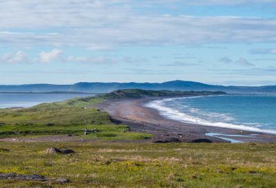
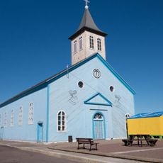
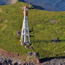
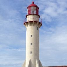
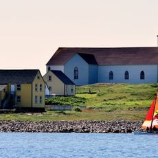
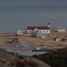
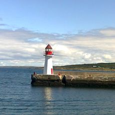
Isthme De Miquelon-Langlade, Sedimentary tombolo in Saint Pierre and Miquelon, France
Description
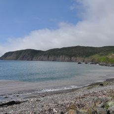
The Isthmus of Miquelon-Langlade is a narrow strip of land connecting Grande Miquelon to Langlade, measuring around 130 meters at its widest points. This sandbar was formed by the accumulation of sediment carried by ocean currents and coastal processes over thousands of years.
History
The isthmus began forming roughly 14.000 years ago when glaciers retreated and sea levels shifted due to ground rebound in this region. Over time, sediment accumulated along the coastline to create the present-day land bridge between the two islands.
Culture
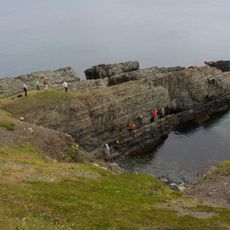
The Conservatoire du Littoral established protection measures for this marine area in 2005, preserving its ecological characteristics for future generations.
Practical
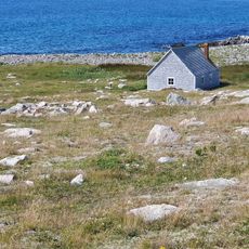
Access is available via existing paths and trails that cross the land bridge, though conditions can vary depending on weather and season. The terrain is relatively flat, but sturdy footwear is recommended and you should be prepared for coastal weather.
Did you know?
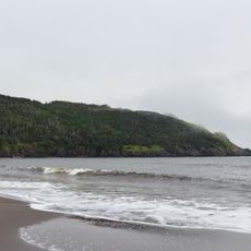
The northern section splits into two distinct parts, with the western Buttereaux ridge rising about 20 meters above sea level while the eastern portion remains low. The eastern side also contains a large lagoon system called Grand Barachois that covers several square kilometers.
AroundUs brings together thousands of curated places, local tips, and hidden gems, enriched daily by 60,000 contributors worldwide. Discover all places nearby (Miquelon-Langlade).
Saint-Pierre Cathedral
21.1 km
Sandbanks Provincial Park
124.4 km
Pointe aux Cannon Battery
21.3 km
Our Lady of Ardilliers Church, Miquelon
18.4 km
Pointe Plate Lighthouse
14.2 km
Maison Jézéquel
21.7 km
Cap Blanc Lighthouse
19.3 km
Chapelle Sainte-Thérèse-de-l'Enfant-Jésus de Langlade
4.7 km
Lighthouse of L'île aux marins
21.9 km
Frenchman's Cove Provincial Park
76.2 km
Tete de Galantry Lighthouse
23.4 km
Grande Meadows Golf Club
75.9 km
Notre-Dame-des-Marins
21.9 km
Fortune Head Ecological Reserve
38.7 km
Hôtel de ville de l'Île-aux-Marins
21.9 km
Maison du pêcheur
22.3 km
Gooseberry Cove Provincial Park
170.6 km
Inside Reservoir
41.4 km
Pointe aux Canons Lighthouse
21.4 km
GSSP for Fortunian Stage
38.6 km
Grand Bank Lighthouse
47.4 km
Cape St. Mary's light
162.6 km
Mémorial des engagés volontaires de la France libre de Saint-Pierre-et-Miquelon
21.2 km
War Memorial
180.4 km
Rocky Point Lighthouse
72.5 km
West Point Lighthouse
75.7 km
Lavoir de l'île-aux-Marins
22 km
Branch Cove Fossiliferous Rocks
180.7 kmDiscover hidden gems everywhere you go!
From secret cafés to breathtaking viewpoints, skip the crowded tourist spots and find places that match your style. Our app makes it easy with voice search, smart filtering, route optimization, and insider tips from travelers worldwide. Download now for the complete mobile experience.
A unique approach to discovering new places❞
— Le Figaro
All the places worth exploring❞
— France Info
A tailor-made excursion in just a few clicks❞
— 20 Minutes