Lac de Chalain, Natural lake in Fontenu, France
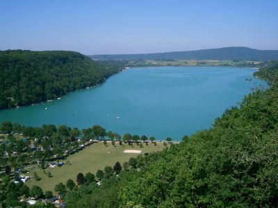
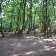
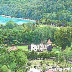
This natural lake covers 2.3 square kilometers in the Jura mountains, displaying turquoise waters that reach 39 meters at their deepest point. The elongated body runs roughly north to south for approximately 3 kilometers in length, with forested slopes defining the shoreline and descending gradually toward the water.
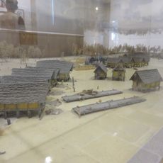
Archaeological excavations starting in 1904 uncovered a lakeside settlement from 5,000 years ago along the western shore, consisting of houses built on stilts. Further research during the 1970s and 1980s documented multiple construction phases between the fourth and third millennia BCE, revealing remains of tools and pottery.
The site and its prehistoric pile dwellings form part of a UNESCO World Heritage designation documenting early Alpine settlement from around 5,000 years ago. These Neolithic structures provide insight into how the first sedentary communities lived along the shoreline, demonstrating advanced construction techniques using wooden poles driven into shallow waters.
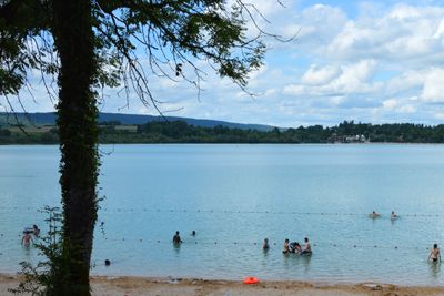
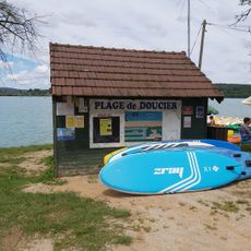
Two supervised beaches offer swimming access during summer months, with parking fees in effect from June through September. Several hiking trails circle the shoreline and lead to viewpoints, while boat rentals and campsites operate near the villages of Doucier and Marigny.
The connection to the Ain River operates through a natural outflow system that maintains water levels at a constant elevation of 486 meters (1,594 feet) above sea level. Underwater springs feed the basin in addition to surface inflows, contributing to exceptional water clarity that allows visibility down to 8 meters (26 feet).
The community of curious travelers
AroundUs brings together thousands of curated places, local tips, and hidden gems, enriched daily by 60,000 contributors worldwide.