Armorican Massif, Mountain range in northwestern France
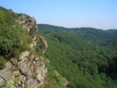
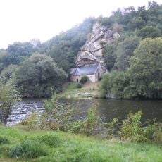
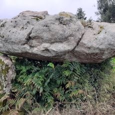
The Armorican Massif stretches across western France and shows rounded hills, broad plateaus, and valleys carved by rivers. The landscape is mainly composed of granite, gneiss, and schist that have taken on gentle shapes through erosion.
The range formed around 360 to 300 million years ago during the Variscan mountain-building event, when tectonic plates collided. Over geological time, the once high mountains were gradually worn down by weathering and transformed into a hilly landscape.
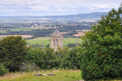
The name comes from Aremorica, a Gaulish territory where coastal areas were called Armor, meaning land by the sea, while the interior was known as Arcoat. This ancient naming still reflects the geographic division of the region today.
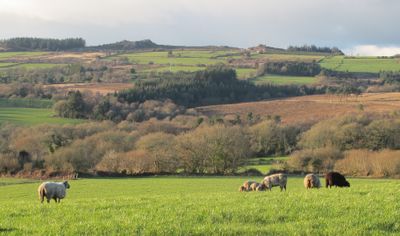
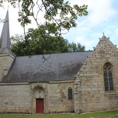
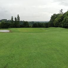
The region is suitable for hiking and cycling on paths that run through fields, forests, and small villages. Visitors will also find many farms offering local products such as milk and cheese.
Some rocks in the range date from the Neoproterozoic era and formed the northern edge of the ancient supercontinent Gondwana over 540 million years ago. These very old formations are among the oldest visible rocks in France.
The community of curious travelers
AroundUs brings together thousands of curated places, local tips, and hidden gems, enriched daily by 60,000 contributors worldwide.