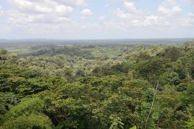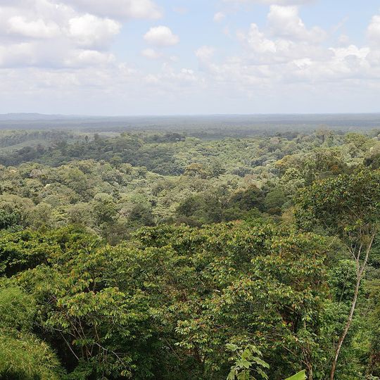
Bellevue de l'Inini, mountain summit in Maripasoula, French Guiana
Bellevue de l'Inini, also called Montagne Bellevue, is the highest point of French Guiana, in the Inini-Camopi mountains within the commune of Maripasoula. Sources give its elevation as 831 m or 851 m. It divides the waters between the crique Pakira to the south, near Dégrad Fourmi, and Eau Claire to the north.
The sources record no exploration history for Bellevue de l'Inini; they place it in the Inini-Camopi massif within the commune of Maripasoula. Its summit divides the waters of the crique Pakira to the south, near Dégrad Fourmi, and Eau Claire to the north. The two reference works give different elevations, 851 m and 831 m.
The name Bellevue, "beautiful view", refers to the panorama from the summit. The peak lies in the commune of Maripasoula, whose territory covers most of the interior of French Guiana. It forms part of the Inini-Camopi range, and its slopes divide the waters of the crique Pakira to the south, near Dégrad Fourmi, from those of Eau Claire to the north.
The summit lies in the commune of Maripasoula, in the Inini-Camopi massif of the Guiana interior; access is by river and forest tracks, so plan for days of travel rather than a single hike. The peak divides the waters of the Pakira creek to the south, near Dégrad Fourmi, and Eau Claire to the north.
The summit lies in the Inini-Camopi massif and divides the waters of two streams: the crique Pakira to the south, near Dégrad Fourmi, and Eau Claire to the north. Sources give its height as 831 m or 851 m, the highest point of French Guiana.
The community of curious travelers
AroundUs brings together thousands of curated places, local tips, and hidden gems, enriched daily by 94,657 contributors worldwide.