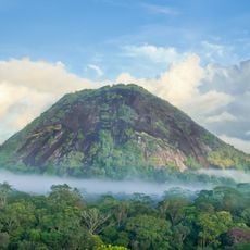
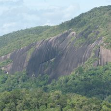
Pic Ardent, Mountain summit in French Guiana, France
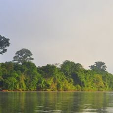
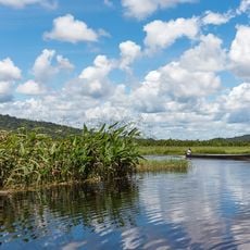
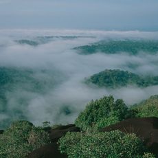
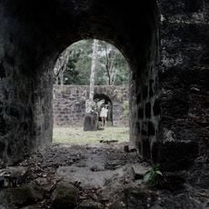
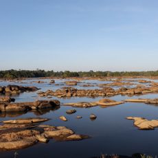
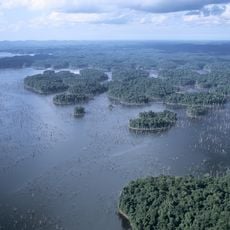
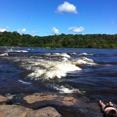
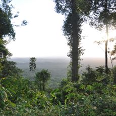
Pic Ardent is a mountain summit in French Guiana rising to 312 meters above sea level. The peak sits within a rainforest landscape dotted with other volcanic formations and provides sweeping views across the region.
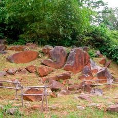
The mountain formed through volcanic activity that shaped the geological structure of French Guiana. These volcanic processes were part of the broader geological development of the South American continent millions of years ago.
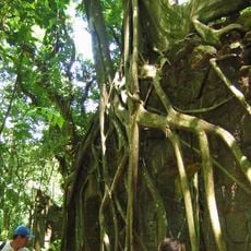
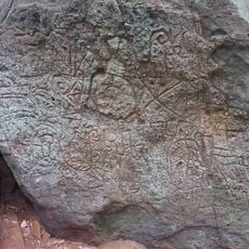
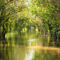
Local indigenous communities have maintained traditional knowledge about the mountain's flora and fauna, passing down information through generations about medicinal plants found on its slopes.
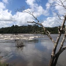
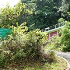
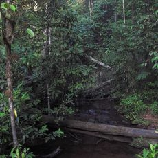
The best time to hike is during the dry season between August and November when rainfall is lower. Marked trails from Village Inipi lead to the summit and are reasonably straightforward to follow.
From the summit you can see two other mountain ranges: Gros Montagne and Monts Bakra, which stand out as major reference points in the rainforest landscape. This vantage point makes the location a natural observation point for the surrounding forest terrain.
The community of curious travelers
AroundUs brings together thousands of curated places, local tips, and hidden gems, enriched daily by 60,000 contributors worldwide.