Nouragues Nature Reserve, National nature reserve in French Guiana, France.
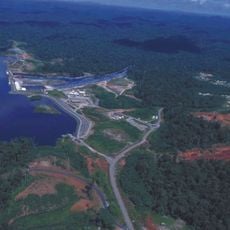
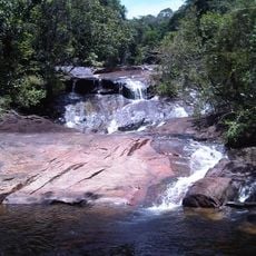
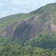
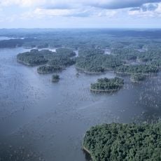
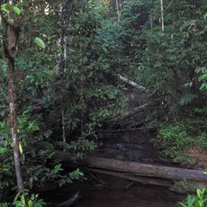
Nouragues Nature Reserve covers 1,000 km² of primary tropical rainforest in the communes of Régina and Roura, French Guiana. Its terrain consists of thousands of rounded hills under 120 m, drained by clear-water streams feeding the Arataye River, with the Balanfois mountains rising to 460 m and the Nouragues Inselberg to 430 m. Dense forest and fog fill the valleys.
The Nouragues, an Amerindian people, lived here until the 18th century, when their last members are said to have moved toward the Camopi region. From the late 19th century to the 1930s–1940s, gold panning, rosewood and balata were briefly exploited near navigable waterways. The reserve was created by decree no. 95-1299 of 18 December 1995.
The reserve takes its name from the Nouragues, an Amerindian people who lived in the region in the 18th century; its last members are said to have moved toward Camopi. The name survives only in the reserve and its research station, as the group no longer exists.
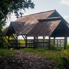
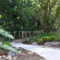
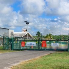
The reserve is not open to the public without authorisation, and the entry zone set aside for ecotourism near the mouth of the Arataye, where it meets the Approuague, has only a small lodging capacity. The two CNRS camps on the Nouragues Inselberg are reached by helicopter or by boat from Saut Pararé. Hunting, fishing, logging, mining and moving outside authorised zones are prohibited by the 1995 decree.
The reserve's two permanent camps are run by CNRS, not merely present: one sits on the Nouragues Inselberg, the other at Saut Pararé, reached by helicopter or by boat. Around 40 expeditions a year pass through them. The inselberg itself rises to 430 m above the surrounding forest.
The community of curious travelers
AroundUs brings together thousands of curated places, local tips, and hidden gems, enriched daily by 92,913 contributors worldwide.