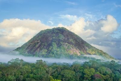
Monte Carupina, Mountain summit in Oiapoque, Brazil
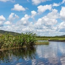
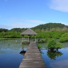
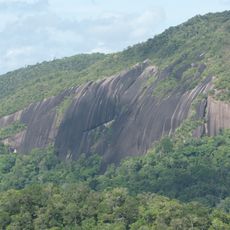
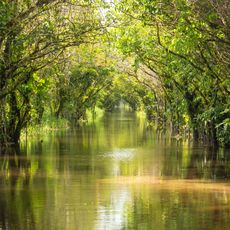
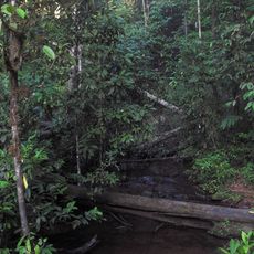
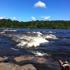
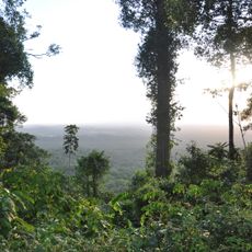
Monte Carupina is a mountain summit in the northern Amazon region that rises about 300 meters above its surroundings. The landscape features gentle rounded slopes within dense rainforest, forming a prominent elevation across the terrain.
The summit is part of ancient geological formations that trace back millions of years into Earth's history. These structures reflect the deep geological past that shaped the Amazon landscape over vast timescales.
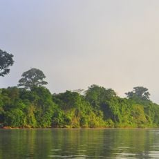
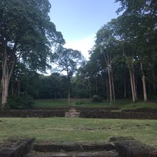
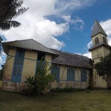
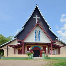
The summit sits within Terra Indígena Uaça, where local communities maintain deep connections to the land through generations of knowledge. People here understand the forest through daily interaction and seasonal cycles that guide their lives.
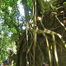
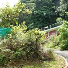
Reaching the summit requires experienced guides and thorough preparation due to challenging forest terrain. The city of Oiapoque serves as the main starting point and provides lodging and local expertise.
The mountain stands as the highest point within Terra Indígena Uaça, making it a distinctive landmark across the forest landscape. Its elevation makes it recognizable from different parts of the region.
Location: Oiapoque
Elevation above the sea: 300 m
Height: 300 m
GPS coordinates: 3.48852,-51.63083
Latest update: December 14, 2025 20:01
Guiana Amazonian Park
248.8 km
Parque Arqueológico do Solstício
132.1 km
Cabo Orange National Park
105.9 km
Kaw-Roura Marshes National Nature Reserve
135.9 km
Habitation Loyola
172.3 km
Pont du Larivot
177.8 km
Fort Diamant
168.4 km
Salines de Montjoly
175.1 km
Montagne d'Argent
100.9 km
Réserve naturelle nationale de l'île du Grand Connétable
153 km
St. Anthony of Padua Church, Saül
176 km
Trésor Regional Nature Reserve
144.1 km
La Trinité National Nature Reserve
121.5 km
Habitation Vidal
170.2 km
Réserve naturelle nationale du mont Grand Matoury
173 kmWindmill of Remire-Montjoly
172 km
Serpent de Pascaud
168.5 km
Église Saint-Dominique de Roura
157.9 km
Roches gravées de la Montagne Favard
121.9 km
Plage Bourda
176.4 km
Église Sainte-Thérèse de Montjoly
173.6 km
Église Saint-Étienne de Régina
107.2 km
Église Hmong de Cacao
152.7 km
Canal de Kaw
121.1 km
Sentier Molokoï
151.5 km
Saut Maripa (busay)
44.6 km
Marais de Kaw
137.7 km
Dépôt de munitions de la Montagne des Serpents
158.2 kmVisited this place? Tap the stars to rate it and share your experience / photos with the community! Try now! You can cancel it anytime.
Discover hidden gems everywhere you go!
From secret cafés to breathtaking viewpoints, skip the crowded tourist spots and find places that match your style. Our app makes it easy with voice search, smart filtering, route optimization, and insider tips from travelers worldwide. Download now for the complete mobile experience.
A unique approach to discovering new places❞
— Le Figaro
All the places worth exploring❞
— France Info
A tailor-made excursion in just a few clicks❞
— 20 Minutes