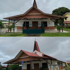
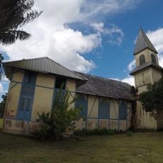
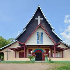
Cabo Orange National Park, National park and Ramsar site in Amapá, Brazil
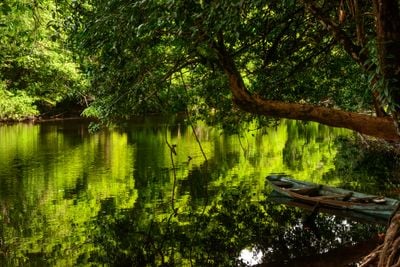
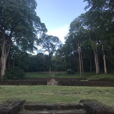
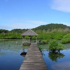
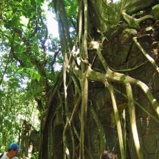
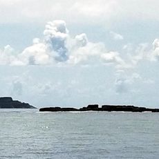
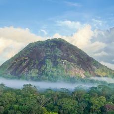
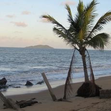
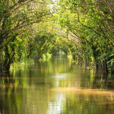
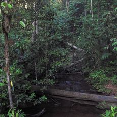
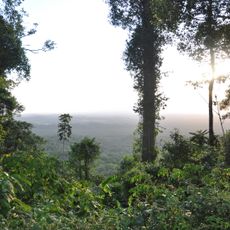
The park covers a vast area along the border between Brazil and French Guiana and displays striking variety, with flooded grasslands, mangrove forests, and coastal rainforest. The landscape constantly shifts between water and land, with dense vegetation spreading across flat, expansive terrain.
The Brazilian government established this park in 1980 to protect the coastal and wetland areas from destruction. Since then it became an important protected area for the region's wildlife and plants.
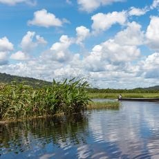
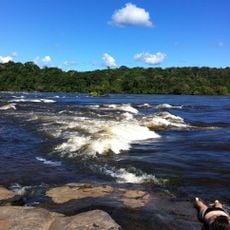
Local fishing communities living in these waters carry on traditional practices and work together with authorities to use resources sustainably. This lived relationship between people and nature shapes daily life in the park.
To explore the area you need a boat or canoe, since roads do not exist and water is the main route. The best time to visit depends on water and weather conditions, which change significantly with the seasons.
The area hosts hundreds of bird species along with jaguars, black caimans, and giant armadillos in one of South America's less explored natural spaces. This richness often remains hidden since few visitors reach the remote areas.
Location: Amapá
Inception: 1980
Operator: Instituto Chico Mendes de Conservação da Biodiversidade
GPS coordinates: 4.43333,-51.51667
Latest update: December 12, 2025 09:04
Cayenne's Prison
105.4 km
Parque Arqueológico do Solstício
225 km
Kaw-Roura Marshes National Nature Reserve
69.5 km
Habitation Loyola
98.4 km
Jardin botanique de Cayenne
105.4 km
Fort Diamant
94.6 km
Salines de Montjoly
100.3 km
Montagne d'Argent
20.4 km
Réserve naturelle nationale de l'île du Grand Connétable
64.5 km
Monte Carupina
105.9 km
Trésor Regional Nature Reserve
86.9 km
La Trinité National Nature Reserve
122.1 km
Habitation Vidal
99 km
Réserve naturelle nationale du mont Grand Matoury
105.7 kmWindmill of Remire-Montjoly
98.7 km
Serpent de Pascaud
96.2 km
Église Saint-Dominique de Roura
95.6 km
Roches gravées de la Montagne Favard
59 km
Lavoir de Cayenne
106 km
Plage Bourda
101.6 km
Église Sainte-Thérèse de Montjoly
99.1 km
Église Saint-Étienne de Régina
69.4 km
Église Hmong de Cacao
107 km
Canal de Kaw
56.5 km
Sentier Molokoï
106.4 km
Saut Maripa (busay)
81.4 km
Marais de Kaw
68.5 km
Dépôt de munitions de la Montagne des Serpents
99.7 kmVisited this place? Tap the stars to rate it and share your experience / photos with the community! Try now! You can cancel it anytime.
Discover hidden gems everywhere you go!
From secret cafés to breathtaking viewpoints, skip the crowded tourist spots and find places that match your style. Our app makes it easy with voice search, smart filtering, route optimization, and insider tips from travelers worldwide. Download now for the complete mobile experience.
A unique approach to discovering new places❞
— Le Figaro
All the places worth exploring❞
— France Info
A tailor-made excursion in just a few clicks❞
— 20 Minutes