Enable Location

We need your location to show you interesting places around you

Discover nearby places

Find interesting locations and hidden gems around you

Precise directions

Get accurate directions and distances to places

Your location is never shared with other users. It's only used when you tap the location button.

Amapá

Log in to your account

Start exploring — it's free

Trusted by 62,855 travelers worldwide

Continue with Google
Continue with Apple
or

We will send you a code to connect

By continuing, you accept our Terms and Conditions and our Privacy Policy

Check your inbox

We've sent a pincode in your inbox. Please enter the code below.

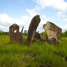
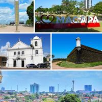
Amapá, Federative unit in northern Brazil

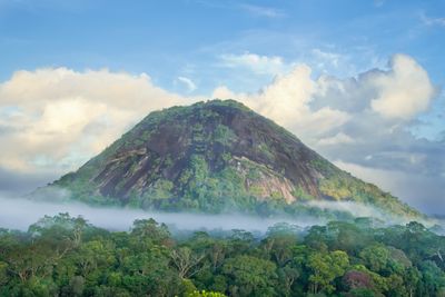
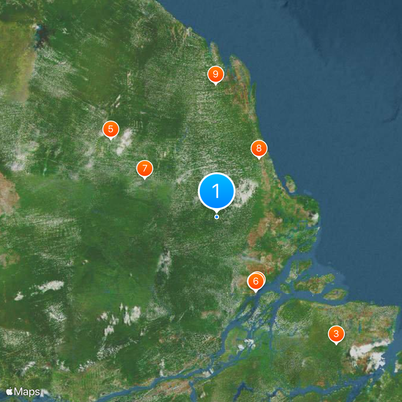
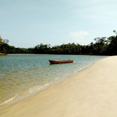
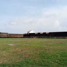
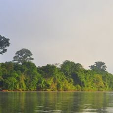
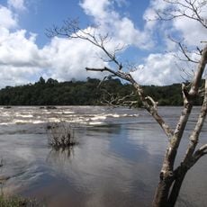
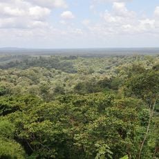
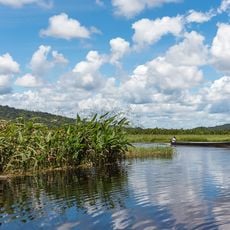
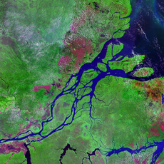
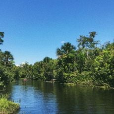
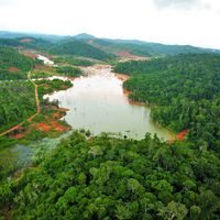
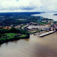
Amapá is a state in northern Brazil that borders French Guiana and Suriname, with its capital in Macapá. The region is defined by the Amazon River to the south and the Atlantic Ocean to the east, and contains large protected areas and river systems.

The area was elevated to statehood on October 5, 1988, after being administered as a federal territory. This transition gave the region greater autonomy and its own government within the Brazilian federation.

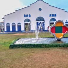
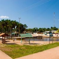
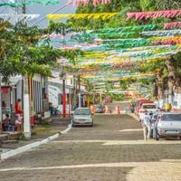
The state population combines indigenous communities, African descendants, and Brazilian immigrants, maintaining traditional festivals throughout municipalities.

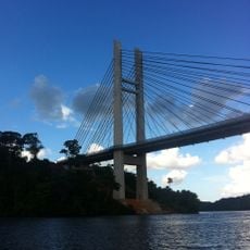
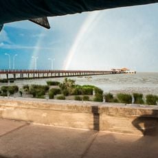
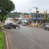
The state is connected to other Brazilian cities through the airport in Macapá, with waterways playing a major role in local transport. Roads are limited, and many communities are best reached by boat or small aircraft.

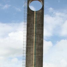
The equator line runs through the state, allowing for a monument in Macapá where visitors can step between the northern and southern hemispheres. This geographic position contributes to year-round warm weather and distinctive biodiversity.

The community of curious travelers

AroundUs brings together thousands of curated places, local tips, and hidden gems, enriched daily by 60,000 contributors worldwide.

Start exploring
Location
Inception
October 5, 1988
Capital city
Macapá
Elevation above the sea
142 m
Reference
AP
Part of
North Region
Shares border with
Pará, Sipaliwini District, arrondissement of Saint-Laurent-du-Maroni, arrondissement of Cayenne
GPS coordinates
1.38333,-51.80000
Latest update
December 15, 2025 05:36
« Amapá - Federative unit in northern Brazil » is provided by Around Us (aroundus.com). Images and texts are derived from Wikimedia project under a Creative Commons license. You are allowed to copy, distribute, and modify copies of this page, under the conditions set by the license, as long as this note is clearly visible.

Discover hidden gems everywhere you go!

From secret cafés to breathtaking viewpoints, skip the crowded tourist spots and find places that match your style. Our app makes it easy with voice search, smart filtering, route optimization, and insider tips from travelers worldwide. Download now for the complete mobile experience.

Around Us App Screenshot

A unique approach to discovering new places

Le Figaro

All the places worth exploring

France Info

A tailor-made excursion in just a few clicks

20 Minutes

Around Us
Travel Guide & Maps
Download

Send to your phone

QR Code
1

Open the camera app on your mobile.

2

Point at the QR code with your camera. A notification will appear.

3

Tap the notification to open the link.