Amapá National Forest, National forest in Amapá state, Brazil.
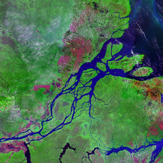
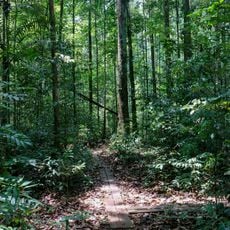
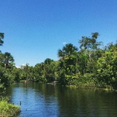
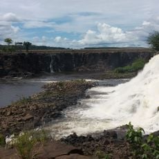
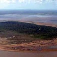
Amapá National Forest is a 460,352-hectare national forest in Amapá, Brazil, split between Pracuúba, Ferreira Gomes and Amapá. It is bounded by the Mutum River to the north, the Falsino to the east, the Araguari to the west and the confluence of the Falsino and Araguari to the south. Most of it is terra firma rainforest, with mountain chains in the far north.
The forest was protected by the Brazilian government in the late 1980s to support sustainable use of its timber and plant resources. This decision reflected growing efforts to conserve Amazon forests while allowing responsible economic activity.
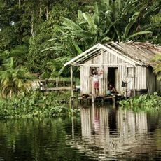
Indigenous groups living near the forest practice river fishing and gather forest plants in ways that respect the land's natural patterns. Their daily life follows the seasonal changes of the region, creating a close relationship between people and the forest.
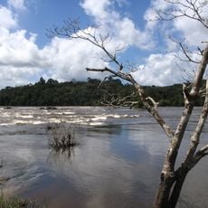
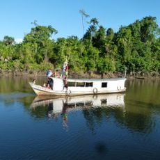
Reaching the forest requires boat travel along the rivers that flow through the region, and it is wise to arrange a guide familiar with the waterways. Most visitors organize their access from settlements along the river systems.
The Amapá National Forest is one of the few federal conservation units in Brazil where sport fishing is permitted, and only on the Araguari River. Every visit is made by boat, since the unit is ringed by rivers: the Mutum to the north, the Falsino to the east and the Araguari to the west.
The community of curious travelers
AroundUs brings together thousands of curated places, local tips, and hidden gems, enriched daily by 93,783 contributors worldwide.