Rio Cajari Extractive Reserve, Sustainable extractive reserve in Amapá, Brazil.
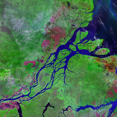
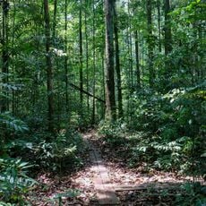
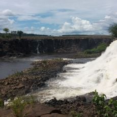
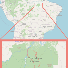
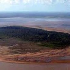
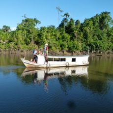
Rio Cajari Extractive Reserve covers 501,771 hectares in Amapá, split between Mazagão, Vitória do Jari and Laranjal do Jari. The Cajari River drains its centre, the Amazon forms the southeast boundary and the Ajuruxi the northeast. Dense rainforest with Brazil nut trees and açaí palms gives way to cerrado fields and flooded riparian zones, from 4 to 130 metres in altitude.
The reserve was created by federal decree 99.145 on 12 March 1990. In the mid-20th century the area was worked by rubber tappers; it later passed to American millionaire Daniel K. Ludwig's Jari project, which cleared forest and planted exotic species for cellulose. Brazilian businessmen with government backing took over the project in 1981, and in 1985 the Rural Workers Union of Macapá joined the push for protected rubber tapper areas.
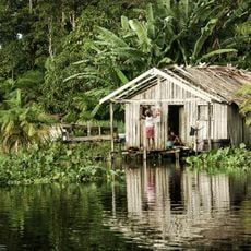
Residents of the reserve are organized in a cooperative association born from conflicts with the Jari project; the reserve was recognized by INCRA as supporting 700 families in 2003, revised to 900 in 2005 and 1,500 in 2006. Families live from subsistence hunting, fishing and farming, and from Brazil nuts, açaí fruit and heart of palm.
The reserve is crossed in its northern part by Highway BR-156, which links Laranjal do Jari, on the Jari River west of the reserve, with the state capital Macapá to the east. The Amazon forms the southeast boundary and the Ajuruxi River the northeast boundary. Rainfall peaks from February to April and is lowest from September to December.
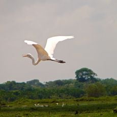
A 2006 survey in the reserve recorded 118 taxa of amphibians and reptiles, and a quick count near the Marinho community in the upper Cajari found 15 species of non-flying mammals, 26 of flying mammals, 155 birds, 13 amphibians and 28 reptiles. The frog Pristimantis chiastonotus is endemic to Amapá.
The community of curious travelers
AroundUs brings together thousands of curated places, local tips, and hidden gems, enriched daily by 92,865 contributors worldwide.