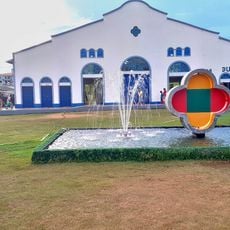
Mazagão, Municipality in southern Amapá, Brazil.
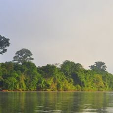
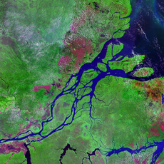
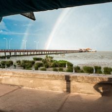
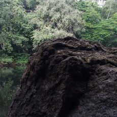
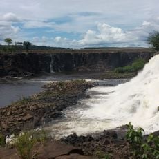
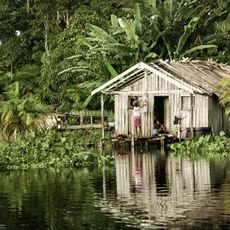
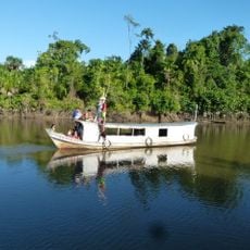
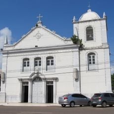
Mazagão is a municipality in southern Amapá state in the Amazon region, divided into several districts with different settlement patterns. The landscape is shaped by rivers and forest, with the oldest district, Mazagão Velho, sitting on the banks of a river.
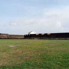
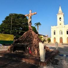
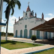
The community was founded when Portuguese settlers relocated from the fortress of Mazagão in North Africa in 1769 and established themselves here. They recreated their settlement pattern in the following years, bringing with them the traditions and structure of their homeland.
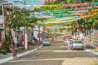
The Festival of São Tiago happens every July and features traditional performances with music, dance, and colorful costumes that recreate historical conflicts. Visitors see the local community dressed in vibrant attire and performing in the streets, making the celebration feel alive and engaging.
You can reach the municipality by road from nearby cities, with regular bus services available throughout the year. It is easier to travel during the drier months when roads are in better condition.
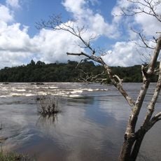
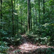
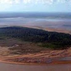
A large protected forest reserve covers much of the territory and supports local livelihoods through native plant resources. Residents depend on harvesting specific forest products that have been part of their economy for generations.
Location: Amapá
Elevation above the sea: 131 m
Shares border with: Pedra Branca do Amapari, Afuá, Gurupá, Laranjal do Jari, Porto Grande, Santana, Vitória do Jari
Website: http://mazagao.ap.gov.br
GPS coordinates: -0.11500,-51.28889
Latest update: December 7, 2025 20:26
Milton de Souza Corrêa Stadium
26.5 km
Amazon Reef
283.4 km
Fortaleza de São José de Macapá
31.3 km
Guiana Amazonian Park
429.5 km
Marco Zero
26.8 km
Tumucumaque National Park
322.1 km
Parque Arqueológico do Solstício
290.2 km
Museu Sacaca
29.3 km
Pau do Presidente
353.8 km
Caviana
146.9 km
Macapá Central Market
31 km
Caxiuanã National Forest
187.4 km
Government of Amapá
415.8 km
Trapiche Eliezer Levy
31.4 km
Fort of Saint Antony of Gurupá
148.7 km
Rio Cajari Extractive Reserve
121 km
Maicuru Biological Reserve
347 km
Jari Ecological Station
162.3 km
Lago Piratuba Biological Reserve
215.2 km
Charapucu State Park
89.8 km
Parazinho Biological Reserve
182.1 km
Our Lady of the Conception Cathedral, Abaetetuba
321.7 km
Reserva de Desenvolvimento Sustentável Itatupã-Baquiá
52.4 km
Monumento Matriz
277.4 km
Marco do Sesquicentenário de Cachoeira do Arari
277.6 km
Igreja Matriz Nossa Senhora da Conceição
277.4 km
Parish Church of Saint Joseph of Macapá
31.3 km
Museu Histórico Joaquim Caetano da Silva
31.3 kmVisited this place? Tap the stars to rate it and share your experience / photos with the community! Try now! You can cancel it anytime.
Discover hidden gems everywhere you go!
From secret cafés to breathtaking viewpoints, skip the crowded tourist spots and find places that match your style. Our app makes it easy with voice search, smart filtering, route optimization, and insider tips from travelers worldwide. Download now for the complete mobile experience.
A unique approach to discovering new places❞
— Le Figaro
All the places worth exploring❞
— France Info
A tailor-made excursion in just a few clicks❞
— 20 Minutes