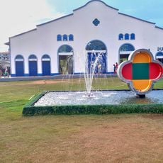
Rio Curiaú Environmental Protection Area, Environmental protection area in Macapá, Brazil
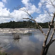
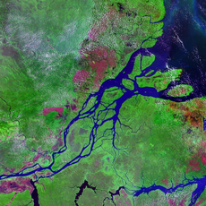
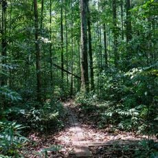
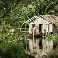
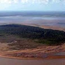
Rio Curiaú Environmental Protection Area is a forest region with flooded fields near Macapa that covers approximately 21,600 hectares. The Curiaú River flows through the area toward the southeast and connects it to the larger Amazon ecosystem.
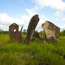
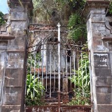
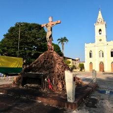
Vila do Curiaú settlement began in the 18th century when enslaved people who escaped from the São José de Macapá fortress construction established their community there. This population became permanent and shaped the region from the start.
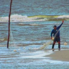
Five communities within this area maintain African Brazilian traditions through their farming methods and social organization. These practices shape how people live and work with the landscape.
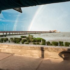
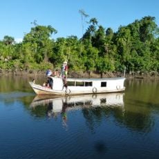
The protected area is about 5 kilometers south of downtown Macapa and can be reached via the EAP-070 highway that runs through the territory from south to north. Visitors should keep in mind that heavy rains and flooding during the wet season affect accessibility.
The region experiences tidal influences that change river conditions and allow for the cultivation of adapted crops like rice using traditional methods. These tides shape the rhythm of agricultural work and the ecological balance of the area.
Location: Amapá
Inception: 1998
GPS coordinates: 0.15807,-51.03323
Latest update: December 14, 2025 18:47
Milton de Souza Corrêa Stadium
18.3 km
Amazon Reef
245 km
Fortaleza de São José de Macapá
14.3 km
Marco Zero
18.2 km
Tumucumaque National Park
319.7 km
Parque Arqueológico do Solstício
258.1 km
Museu Sacaca
14.9 km
Caviana
115 km
Macapá Central Market
14.3 km
Caxiuanã National Forest
221.7 km
Trapiche Eliezer Levy
13.8 km
Chalé Senador José Porfírio
327 km
Fort of Saint Antony of Gurupá
186.5 km
Rio Cajari Extractive Reserve
161.3 km
Jari Ecological Station
199.2 km
Lago Piratuba Biological Reserve
211.9 km
Charapucu State Park
81.7 km
Parazinho Biological Reserve
141.2 km
Our Lady of the Conception Cathedral, Abaetetuba
317.6 km
Soure Marine Extractive Reserve
290.9 km
Reserva de Desenvolvimento Sustentável Itatupã-Baquiá
89.9 km
Quilombo Moju-miri
319.6 km
Joanes Lighthouse
304.9 km
Monumento Matriz
264.6 km
Marco do Sesquicentenário de Cachoeira do Arari
264.7 km
Igreja Matriz Nossa Senhora da Conceição
264.6 km
Parish Church of Saint Joseph of Macapá
13.7 km
Museu Histórico Joaquim Caetano da Silva
13.7 kmVisited this place? Tap the stars to rate it and share your experience / photos with the community! Try now! You can cancel it anytime.
Discover hidden gems everywhere you go!
From secret cafés to breathtaking viewpoints, skip the crowded tourist spots and find places that match your style. Our app makes it easy with voice search, smart filtering, route optimization, and insider tips from travelers worldwide. Download now for the complete mobile experience.
A unique approach to discovering new places❞
— Le Figaro
All the places worth exploring❞
— France Info
A tailor-made excursion in just a few clicks❞
— 20 Minutes