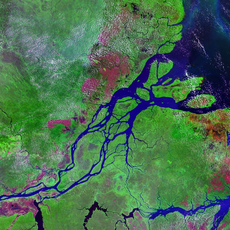
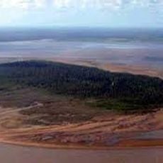
Serra do Navio, Mining municipality in Amapá, Brazil
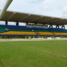
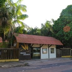
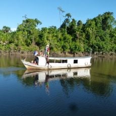
Serra do Navio is a municipality in Amapá state located in the heart of Amazon territory. The town developed around mining operations and includes rail infrastructure built to support extraction activities in the region.
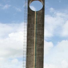
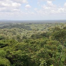
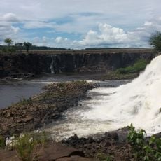
Manganese deposits were discovered in the region during the 1940s, spurring rapid development of the area. A planned city took shape with rail and mining infrastructure that transformed the landscape and economy.
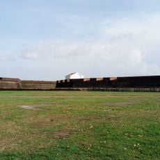
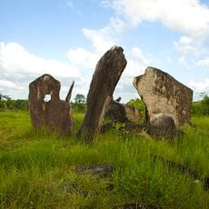
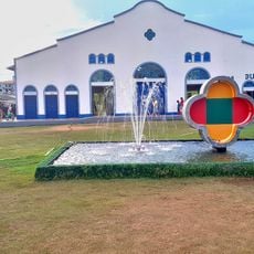
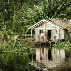
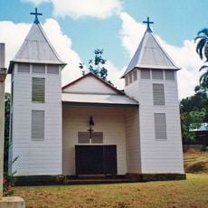
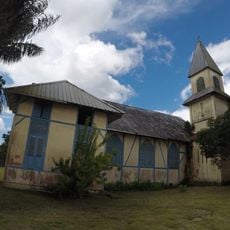
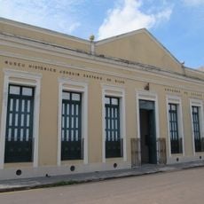
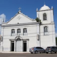
The town shows signs of its mining past in buildings and community traditions that blend industrial heritage with local Amazonian customs. Walking through, you notice how people maintain connections to the land while living in a landscape shaped by decades of resource extraction.
The BR-210 highway is the main road connecting the municipality to surrounding regions. The tropical climate brings consistent heat year-round and heavy rainfall during the first months of the year, so plan visits accordingly.
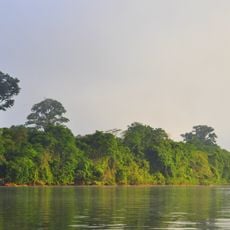
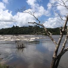
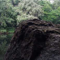
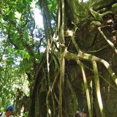
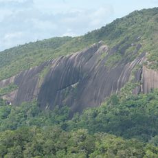
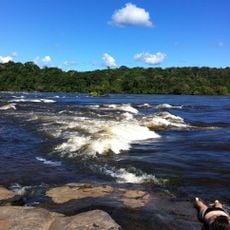
A natural park within the municipality protects diverse frog and toad species, including types found nowhere else in the area until recent scientific surveys. This reserve demonstrates how much wildlife survives in the region despite past mining operations.
Location: Amapá
Elevation above the sea: 187 m
Shares border with: Oiapoque, Calçoene, Ferreira Gomes, Pedra Branca do Amapari, Pracuúba
GPS coordinates: 0.90139,-52.00220
Latest update: December 7, 2025 10:08
Milton de Souza Corrêa Stadium
143.4 km
Fortaleza de São José de Macapá
143.7 km
Guiana Amazonian Park
292 km
Marco Zero
143.7 km
Tumucumaque National Park
184.8 km
Parque Arqueológico do Solstício
207.2 km
Museu Sacaca
142.3 kmBellevue de l'Inini
341.9 km
Caviana
237.4 km
Macapá Central Market
143.5 km
Government of Amapá
300.4 km
Trapiche Eliezer Levy
143.4 km
Rio Cajari Extractive Reserve
222.7 km
Maicuru Biological Reserve
234.8 km
Jari Ecological Station
175.2 km
Montagne d'Argent
390.1 km
Charapucu State Park
217.1 km
Parazinho Biological Reserve
223.5 km
Monte Carupina
290.9 km
St. Anthony of Padua Church, Saül
331.4 km
La Trinité National Nature Reserve
358.2 km
Roches gravées de la Montagne Favard
400.9 km
Reserva de Desenvolvimento Sustentável Itatupã-Baquiá
179.7 km
Église Saint-Étienne de Régina
380 km
Museu Histórico Joaquim Caetano da Silva
143 km
Parish Church of Saint Joseph of Macapá
143 km
Canal de Kaw
401.1 km
Saut Maripa (busay)
322.9 kmVisited this place? Tap the stars to rate it and share your experience / photos with the community! Try now! You can cancel it anytime.
Discover hidden gems everywhere you go!
From secret cafés to breathtaking viewpoints, skip the crowded tourist spots and find places that match your style. Our app makes it easy with voice search, smart filtering, route optimization, and insider tips from travelers worldwide. Download now for the complete mobile experience.
A unique approach to discovering new places❞
— Le Figaro
All the places worth exploring❞
— France Info
A tailor-made excursion in just a few clicks❞
— 20 Minutes