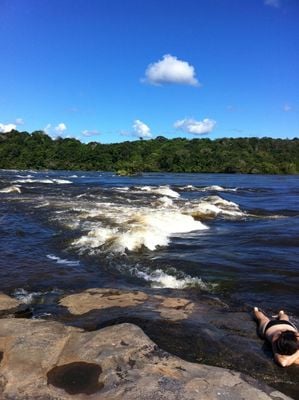
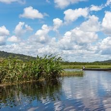
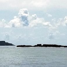
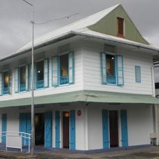
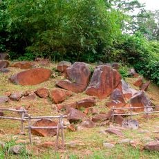
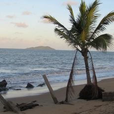
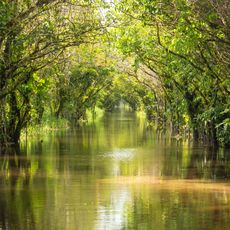
Saut Maripa, Waterfall system in Saint-Georges, French Guiana.
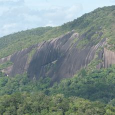
Saut Maripa is a waterfall system along the Oyapock River featuring multiple cascades flowing through rocky terrain. The water drops across several levels, creating a series of rapids that define this section of the river.
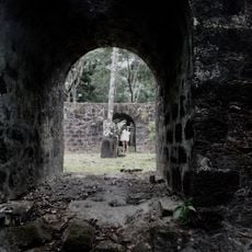
This section of the river was once a trading route where a railway line carried goods and boats navigated the rapids. These waterways formed a vital passage for commerce and movement between river communities.
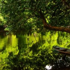
The waterfall serves as a natural landmark that locals recognize immediately when traveling the river. People gather here for fishing and use the cascades as a reference point in their daily river journeys.
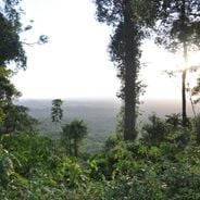
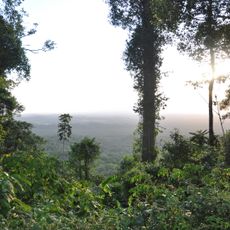
The site can be reached by land or river navigation, both requiring some planning beforehand. Water conditions at the rapids can vary significantly depending on the season and rainfall.
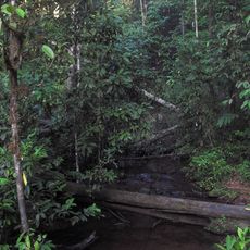
Among the numerous rapids along the Oyapock River, this section ranks among the most difficult for boats to pass through. Skilled boatmen know the exact positions and timing windows needed to navigate safely through the most turbulent areas.
GPS coordinates: 3.80000,-51.88333
Latest update: December 6, 2025 19:08
French Guiana is a region where tropical rainforests meet rivers and coastal areas. The landscape brings together South American nature with French history. You can visit nature reserves where birds and turtles live, explore colonial ruins, and see ancient rock carvings made by indigenous peoples....
Camp Crique Anguille
134.4 km
Cabo Orange National Park
81.4 km
Kaw-Roura Marshes National Nature Reserve
93.7 km
Habitation Loyola
129.7 km
Pont du Larivot
134.4 km
Jardin botanique de Cayenne
135.8 km
Fort Diamant
125.8 km
Salines de Montjoly
132.4 km
Montagne d'Argent
69.2 km
Réserve naturelle nationale de l'île du Grand Connétable
114.5 km
Maison-Musée de Félix Éboué
135.9 km
Monte Carupina
44.6 km
Trésor Regional Nature Reserve
100.3 km
La Trinité National Nature Reserve
80.5 km
Habitation Vidal
127.2 km
Réserve naturelle nationale du mont Grand Matoury
129.5 kmWindmill of Remire-Montjoly
129.2 km
Serpent de Pascaud
125.7 km
Église Saint-Dominique de Roura
114.2 km
Roches gravées de la Montagne Favard
80.3 km
Plage Bourda
133.7 km
Église Sainte-Thérèse de Montjoly
131 km
Église Saint-Étienne de Régina
63.3 km
Église Hmong de Cacao
108.1 km
Canal de Kaw
79.9 km
Sentier Molokoï
106.9 km
Marais de Kaw
95.8 km
Dépôt de munitions de la Montagne des Serpents
114.2 kmVisited this place? Tap the stars to rate it and share your experience / photos with the community! Try now! You can cancel it anytime.
Discover hidden gems everywhere you go!
From secret cafés to breathtaking viewpoints, skip the crowded tourist spots and find places that match your style. Our app makes it easy with voice search, smart filtering, route optimization, and insider tips from travelers worldwide. Download now for the complete mobile experience.
A unique approach to discovering new places❞
— Le Figaro
All the places worth exploring❞
— France Info
A tailor-made excursion in just a few clicks❞
— 20 Minutes