Laranjal do Jari

Log in to your account

AroundUs is a community-driven map of interesting places, built by curious explorers like you. It grows with every review, story, and photo you share.
Connect to save your favorite spots, contribute locations, and create personalized routes.
Continue with Google
Continue with Apple
Continue with X
Continue with Facebook
Continue with email
By continuing, you accept our Terms and Conditions and our Privacy Policy
Create an account
Add to collection
Map
Suggest a change
Share

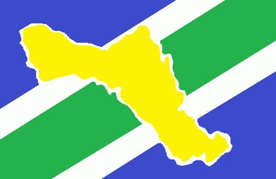
Laranjal do Jari, Administrative division in Amapá, Brazil

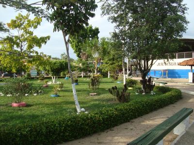
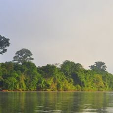
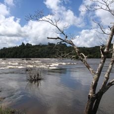
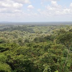
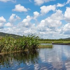
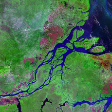
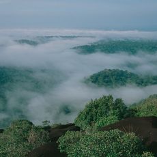
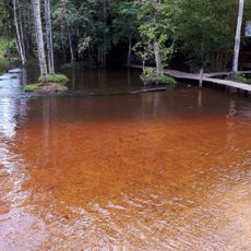
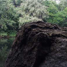
Laranjal do Jari is a municipality in western Amapá located at the border between Brazil and French Guiana. The region is shaped by Amazon rainforest and cut through by the Jari River, with the main populated areas linked by highways and river transport.

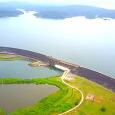
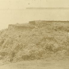
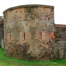
The Jari project launched in the 1960s transformed rainforest areas into plantations for the pulp industry, marking a major shift in regional development. This period of economic change reshaped land use and settlement patterns across the territory.

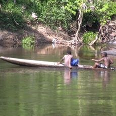
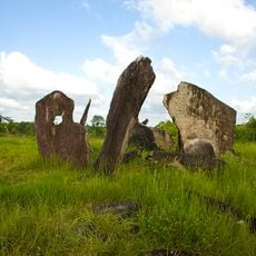
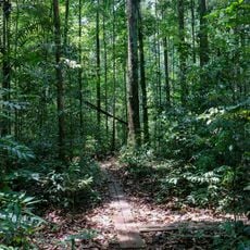
The municipality is home to the Wayampi Indigenous Territory, where Wayampi and Aparai communities maintain their traditional practices and connection to the land. Local residents have deep ties to the Amazon environment that shape their daily life and customs.

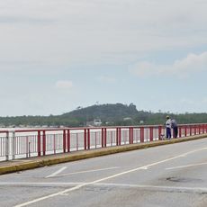
The region connects to surrounding areas through BR-156 and BR-210 highways, with a ferry service crossing the Jari River to Monte Dourado. Visitors should prepare for longer travel times as road conditions and river transport can vary with the season.

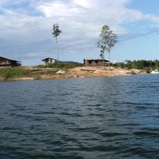
Local residents call the region Beiradão, meaning Big Edge, referring to its position at Amapá's western boundary. This nickname reflects both the geographic location and the scattered settlements that characterize life in this remote area.

Location: Amapá

Inception: 1987

Elevation above the sea: 22 m

Shares border with: Vitória do Jari, Almeirim, Mazagão, Oiapoque, Pedra Branca do Amapari, Maripasoula

Website: http://laranjaldojari.ap.gov.br

GPS coordinates: -0.84194,-52.51583

Latest update: December 7, 2025 10:07

Photos
Reviews

Visited this place? Tap the stars to rate it and share your experience / photos with the community! Try now! You can cancel it anytime.

« Laranjal do Jari - Administrative division in Amapá, Brazil » is provided by Around Us (aroundus.com). Images and texts are derived from Wikimedia project under a Creative Commons license. You are allowed to copy, distribute, and modify copies of this page, under the conditions set by the license, as long as this note is clearly visible.

Discover hidden gems everywhere you go!

From secret cafés to breathtaking viewpoints, skip the crowded tourist spots and find places that match your style. Our app makes it easy with voice search, smart filtering, route optimization, and insider tips from travelers worldwide. Download now for the complete mobile experience.

Around Us App Screenshot

A unique approach to discovering new places

Le Figaro

All the places worth exploring

France Info

A tailor-made excursion in just a few clicks

20 Minutes