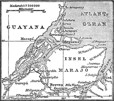
Marajó, Fluvial island in Pará, Brazil
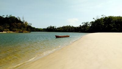
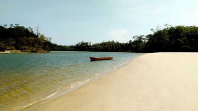
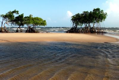
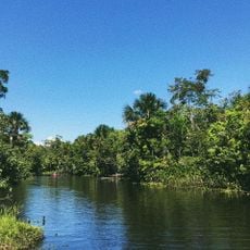
Marajó is a fluvial island at the mouth of the Amazon River covering 40,100 square kilometers (15,500 square miles) of savanna, wetlands and forests. The landscape shifts between open grasslands in the east and dense tropical rainforest in the west, broken up by rivers and marshes.
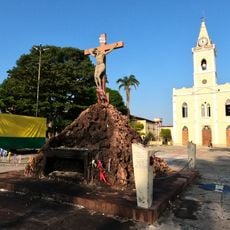
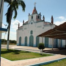
The Marajoara culture settled the island from 400 BC to 1600 AD, developing pottery and complex social structures. European colonizers reached the area in the 17th century and introduced cattle ranching, which continues to shape the economy today.
Water buffalo shape the landscape and serve residents as working animals and as sources of meat for regional dishes. Fishing villages along the coast depend on the catch and process fish using methods passed down through generations.
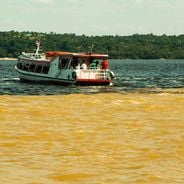
Ferries connect the island town of Soure with Belém on the mainland, with the crossing taking several hours. Boats serve as the main mode of transport within the island, especially during the flood period between January and June.
During the rainy season, wide areas turn into interconnected lakes, which is why many houses stand on stilts. Archaeological sites with pottery remains from the Marajoara culture lie scattered across the island and are partly accessible to visitors.
Location: Pará
Elevation above the sea: 19 m
GPS coordinates: -0.97861,-49.58167
Latest update: December 12, 2025 18:00
The Amazon River is the world's largest river and flows through the world's largest rainforest. Its waters and those of its many tributaries support an incredible range of life: river dolphins, thousands of fish species, jaguars, anacondas, and countless other animals. The forest itself is a dense...
Marajó Archipelago Environmental Protection Area
28.9 km
Lago Piratuba Biological Reserve
23 kmMapuá Extractive Reserve
107.5 km
Our Lady of the Conception Cathedral, Abaetetuba
113.3 kmQuilombo Gurupá
68.9 kmTerra Grande-Pracuúba Extractive Reserve
41.2 km
Monumento Matriz
68.8 km
Marco do Sesquicentenário de Cachoeira do Arari
69.1 km
Igreja Matriz Nossa Senhora da Conceição
68.9 kmQuilombo Bom Remédio
113.7 kmBacia 2
113.3 kmQuilombo Caeté
114.3 kmQuilombo Tartarugueiro
92.5 kmBacia 5A
114.6 kmBacia B 3
112 kmBacia B 2
112 kmBacia 5C
114.6 kmBacia 4
113.6 kmObelisco (Ponta de Pedras)
91.4 kmBacia 1 B
113.8 kmBacia B 1
111.7 kmBacia 1 A
113.8 kmBacia B 4
111.8 kmBacia 5B
114.6 kmBacia 3
113 km
Estádio do Cachoeirense Esporte Clube
69.4 kmQuilombo São José da Povoação do Rio Mutuacá
80.9 kmQuilombo Santana do Arari
90.9 kmVisited this place? Tap the stars to rate it and share your experience / photos with the community! Try now! You can cancel it anytime.
Discover hidden gems everywhere you go!
From secret cafés to breathtaking viewpoints, skip the crowded tourist spots and find places that match your style. Our app makes it easy with voice search, smart filtering, route optimization, and insider tips from travelers worldwide. Download now for the complete mobile experience.
A unique approach to discovering new places❞
— Le Figaro
All the places worth exploring❞
— France Info
A tailor-made excursion in just a few clicks❞
— 20 Minutes