Mont Cassel, Hill summit in Nord, France
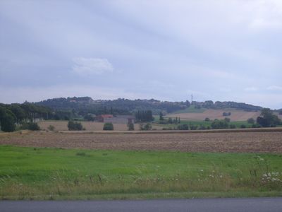
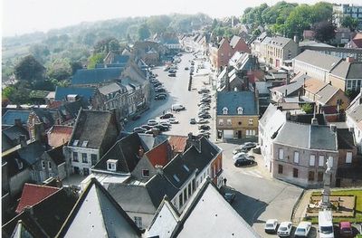
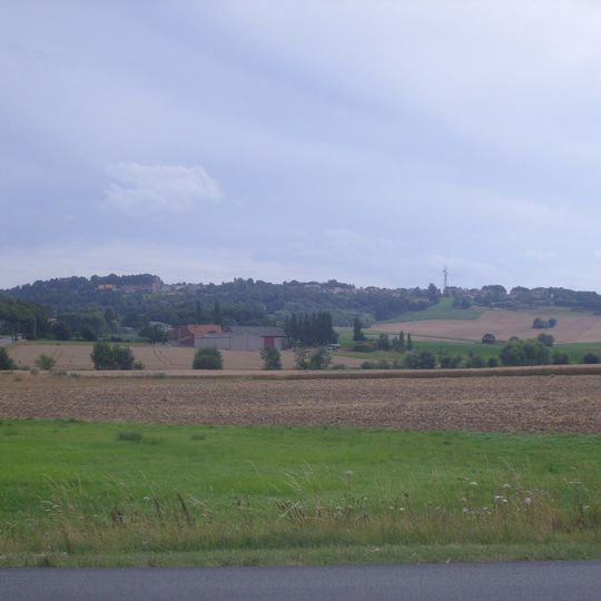
Mont Cassel is a hill in the Nord department rising 176 metres above sea level, the highest point of the Westhoek region. Its summit carries the town of Cassel, whose pale stone and plaster buildings with dark slate roofs line a broad street climbing the slope. A slender tower or mast stands on the crest, and the upper slopes are wooded above pasture and ploughed fields.
The Romans built a military fortress called Castellum Menapiorum on Mont Cassel and created an extensive network of roads across the region. This made the hill a key crossroads in the ancient world.
The hill's name comes from Castellum Menapiorum, the Roman settlement on the summit, and locals in Flemish nationalist circles call it the "Holy Mountain of Flanders" after three battles fought here for the County of Flanders. A monument on the hilltop commemorates those battles, and a statue honours Marshal Foch, who directed the First Battle of Ypres from the castle terrace in 1914–1915.
Multiple walking trails with clear signs and resting spots lead to Mont Cassel's summit. Wear suitable footwear as the paths can become slippery in wet conditions.
During World War I, Marshal Ferdinand Foch used Mont Cassel as his military headquarters to direct Allied operations in the region. From this vantage point, he oversaw strategic decisions that shaped the course of the war.
The community of curious travelers
AroundUs brings together thousands of curated places, local tips, and hidden gems, enriched daily by 94,657 contributors worldwide.