Baou des Quatre Oures, Mountain summit in Provence-Alpes-Côte d'Azur, France.
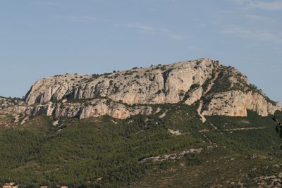
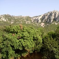
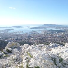
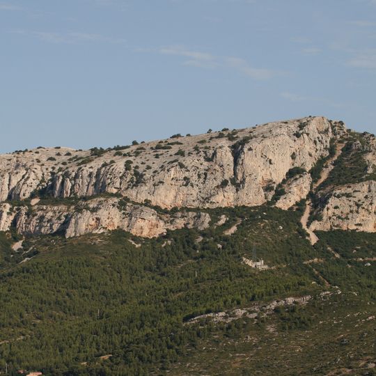
Baou des Quatre Oures is a limestone summit in the Monts Toulonnais, reaching 576 m south of Mont Caume, west of Mont Faron and east of the Croupatier. Its pale grey and beige rock face is weathered into horizontal bands, ledges and rounded outcrops, with sparse shrubs on the crest. The site holds over 500 equipped sport-climbing routes across 26 sectors, mostly single-pitch, plus long routes up to 90 m.
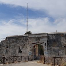
The summit still bears traces of a 18th-century fortification that was destroyed during military campaigns in 1793. These ruins show the strategic importance of the height during times of conflict.
Mistral's 1878 Provençal dictionary records "lou baus de Quatre-Ouro" as a rock serving as a clock for the farmers of Évenos and Six-Fours, which favours reading the name as "baou de Quatre Heures". The same word, ouro, is also a Provençal spelling for "wind", so "baou des Quatre Vents" remains possible.
Visitors should bring sturdy shoes and water, as the paths vary in difficulty depending on the season. The open peak offers good viewpoints but is windy with little shade.
The Provençal name baus means a steep rock with a flat top, and Mistral's 1878 dictionary records lou baus de Quatre-Ouro as a rock that served as a clock for the farmers of Évenos and Six-Fours. The summit also holds the remains of an 18th-century fort destroyed by the English in 1793, beside a wooden cross.
The community of curious travelers
AroundUs brings together thousands of curated places, local tips, and hidden gems, enriched daily by 94,050 contributors worldwide.