Enable Location

We need your location to show you interesting places around you

Discover nearby places

Find interesting locations and hidden gems around you

Precise directions

Get accurate directions and distances to places

Your location is never shared with other users. It's only used when you tap the location button.

Col du Firstplan

Log in to your account

Start exploring — it's free

Trusted by 62,589 travelers worldwide

Continue with Google
Continue with Apple
or

We will send you a code to connect

By continuing, you accept our Terms and Conditions and our Privacy Policy

Check your inbox

We've sent a pincode in your inbox. Please enter the code below.

Col du Firstplan

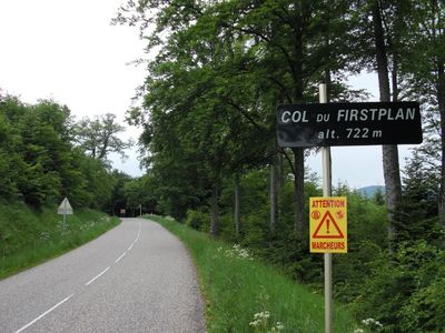
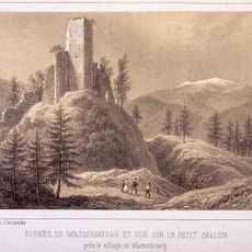
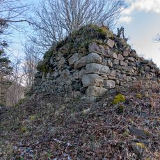
Col du Firstplan, Mountain pass in Haut-Rhin, France

Col du Firstplan is a mountain pass in the Vosges on 722 meters elevation, with two different ascent routes through forested terrain. The northern route extends 7.3 kilometers with a 414-meter climb, while the southern approach from Soultzmatt covers 8.4 kilometers.

The pass entered cycling history when the Tour de France routed through it four times, with prominent riders climbing its slopes. This connection to professional racing shaped its reputation in regional sports history.

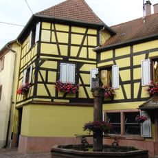
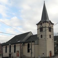
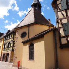
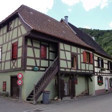
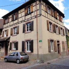
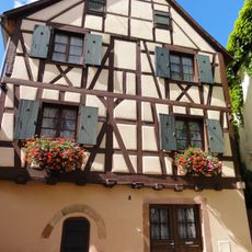
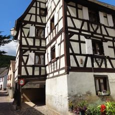
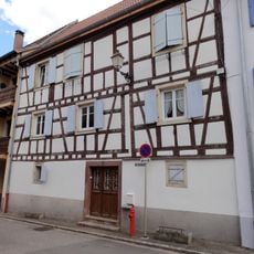
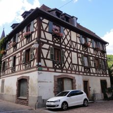
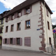
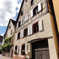
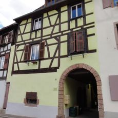
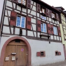
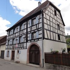
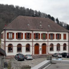
The pass sits in Alsace, a region where French and German traditions blend in the villages and customs of the surrounding area. Visitors notice this mixed heritage reflected in how locals live and in the character of the communities nearby.

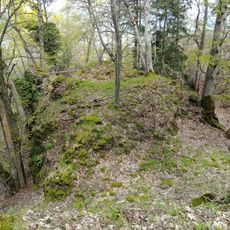
Visitors should expect steep forest paths with regular woodland conditions as you approach the summit. Weather in the Vosges can shift quickly, so proper equipment is important for safe hiking or cycling.

Between 2010 and 2011, the pass served as a racing venue for the Rally Alsace competition in the World Rally Championship. Drivers tackled multiple special stages on the mountain roads, bringing motorsport competition to the region.

The community of curious travelers

AroundUs brings together thousands of curated places, local tips, and hidden gems, enriched daily by 60,000 contributors worldwide.

Start exploring
Location
Location
Elevation above the sea
722 m
GPS coordinates
47.99926,7.18512
Latest update
December 14, 2025 18:08
« Col du Firstplan - Mountain pass in Haut-Rhin, France » is provided by Around Us (aroundus.com). Images and texts are derived from Wikimedia project under a Creative Commons license. You are allowed to copy, distribute, and modify copies of this page, under the conditions set by the license, as long as this note is clearly visible.

Discover hidden gems everywhere you go!

From secret cafés to breathtaking viewpoints, skip the crowded tourist spots and find places that match your style. Our app makes it easy with voice search, smart filtering, route optimization, and insider tips from travelers worldwide. Download now for the complete mobile experience.

Around Us App Screenshot

A unique approach to discovering new places

Le Figaro

All the places worth exploring

France Info

A tailor-made excursion in just a few clicks

20 Minutes

Around Us
Travel Guide & Maps
Download

Send to your phone

QR Code
1

Open the camera app on your mobile.

2

Point at the QR code with your camera. A notification will appear.

3

Tap the notification to open the link.