Enable Location

We need your location to show you interesting places around you

Discover nearby places

Find interesting locations and hidden gems around you

Precise directions

Get accurate directions and distances to places

Your location is never shared with other users. It's only used when you tap the location button.

Rouffach

Log in to your account

Start exploring — it's free

Trusted by 62,602 travelers worldwide

Continue with Google
Continue with Apple
or

We will send you a code to connect

By continuing, you accept our Terms and Conditions and our Privacy Policy

Check your inbox

We've sent a pincode in your inbox. Please enter the code below.

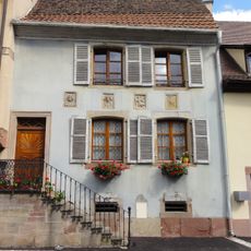
Rouffach, Commune in Haut-Rhin, Grand Est, France

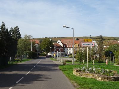
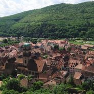
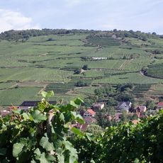
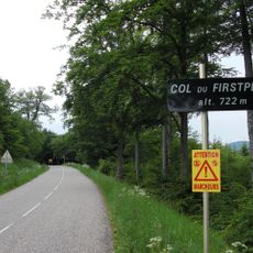
Rouffach is a commune in the Haut-Rhin department of northeastern France, located along the Lauch River at approximately 1,135 feet (346 meters) elevation in the foothills of the Vosges Mountains.

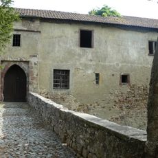
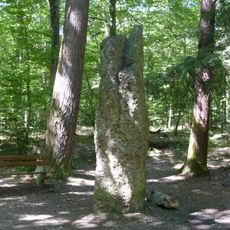
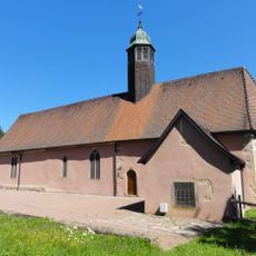
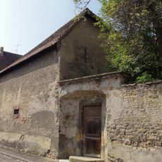
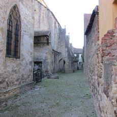
The town traces its origins to the Roman period and medieval times, flourishing as part of the episcopal fief of Strasbourg before being incorporated into France in the 17th century after enduring devastation during the Thirty Years' War.

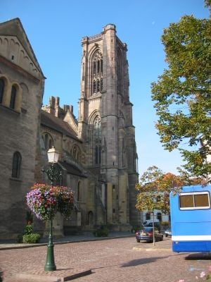
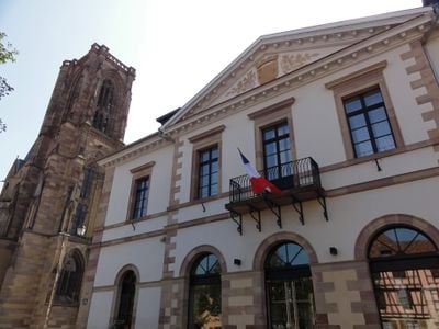
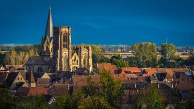
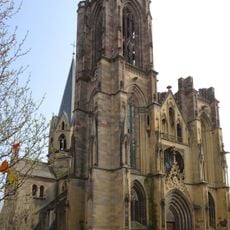
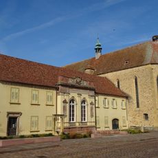
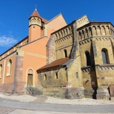
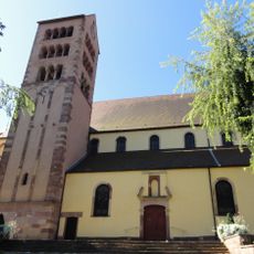
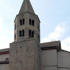
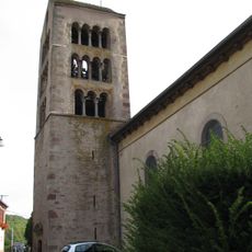
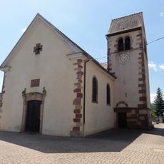
The Notre-Dame de l'Assomption Church displays a combination of Romanesque and Gothic architecture with yellow sandstone construction, featuring a transept from the late 11th century and a nave from the 12th to 13th centuries.

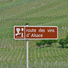
The commune has a postal code of 68250 and lies approximately 9 miles (15 kilometers) south of Colmar, accessible via the N83 highway and regional railway connections linking Strasbourg, Mulhouse, and Basel.

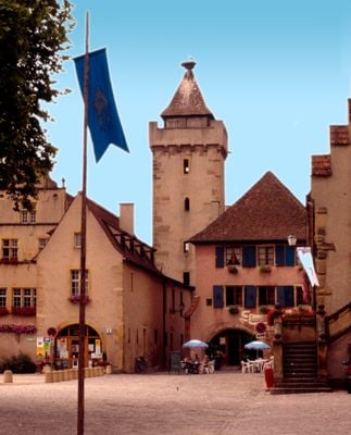
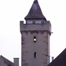
The medieval Witch Tower, constructed between the 13th and 15th centuries, once served as a prison and remains a tangible reminder of the town's historical association with witchcraft trials and judicial proceedings.

The community of curious travelers

AroundUs brings together thousands of curated places, local tips, and hidden gems, enriched daily by 60,000 contributors worldwide.

Start exploring
Elevation above the sea
346 m
Shares border with
Pfaffenheim, Niederhergheim, Oberhergheim, Biltzheim, Oberentzen, Munwiller, Gundolsheim, Bergholtz, Orschwihr, Westhalten, Hattstatt, Herrlisheim-près-Colmar, Soultzmatt, Osenbach, Wasserbourg, Lautenbach
Address
68250 Rouffach, France
Phone
GPS coordinates
47.95778,7.29778
Latest update
November 28, 2025 15:19
Alsace Wine Route: historic villages, half-timbered houses, medieval architecture

The Alsace Wine Route connects dozens of villages that have preserved their medieval structures. Half-timbered houses from the 16th and 17th centuries line cobblestone streets, while town walls and watchtowers testify to the region's strategic importance. Many villages feature Romanesque churches...

« Rouffach - Commune in Haut-Rhin, Grand Est, France » is provided by Around Us (aroundus.com). Images and texts are derived from Wikimedia project under a Creative Commons license. You are allowed to copy, distribute, and modify copies of this page, under the conditions set by the license, as long as this note is clearly visible.

Discover hidden gems everywhere you go!

From secret cafés to breathtaking viewpoints, skip the crowded tourist spots and find places that match your style. Our app makes it easy with voice search, smart filtering, route optimization, and insider tips from travelers worldwide. Download now for the complete mobile experience.

Around Us App Screenshot

A unique approach to discovering new places

Le Figaro

All the places worth exploring

France Info

A tailor-made excursion in just a few clicks

20 Minutes

Around Us
Travel Guide & Maps
Download

Send to your phone

QR Code
1

Open the camera app on your mobile.

2

Point at the QR code with your camera. A notification will appear.

3

Tap the notification to open the link.