Fort Énet, Coastal fort in Fouras, France
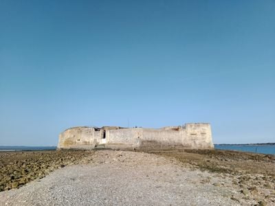
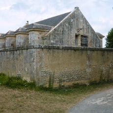
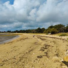
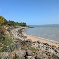
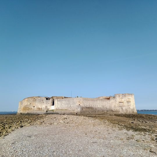
Fort Énet is a low, curved battery of pale weathered stone and concrete on the rock of the same name, between Fouras and Île d'Aix in the Pertuis d'Antioche. Its irregular top edge rises on the left, and a broad flat-faced block with small recessed openings closes the right; the base meets a rocky, pebbly shore. It is reached on foot at low tide by a 1.6 km passage from the Pointe de la Fumée.
Napoleon I ordered the fort to be built in 1810 after a British raid threatened the French fleet in this area. It was designed to reinforce the defense of the naval base at Rochefort as part of a wider protective system along the coast.
Fort Énet still displays the layout of an early 19th-century coastal fort, with casemates and stone-built quarters open to visitors. At low tide, you can walk through the gun positions and get a clear sense of how the space was organized for defense.
The fort can only be reached on foot at low tide, so checking the tidal schedule before you go is essential. The path crosses oyster beds that can be slippery, so sturdy closed shoes are strongly recommended.
A tide gauge was installed at Fort Énet in 1859 by the Dépôt des cartes et plans de la Marine. Silt repeatedly clogged its stilling well, so hydrographic engineer Anatole Bouquet de La Grye moved the measurements to Fort Boyard in 1873.
The community of curious travelers
AroundUs brings together thousands of curated places, local tips, and hidden gems, enriched daily by 93,172 contributors worldwide.