Hâble d'Ault, Protected area in Hauts-de-France, France
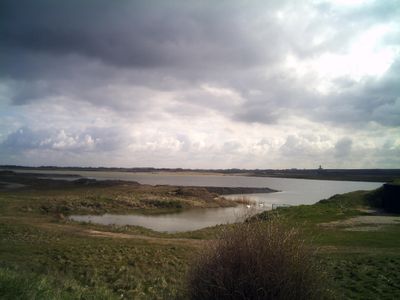
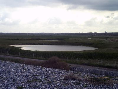
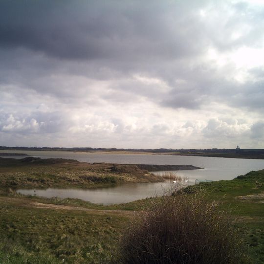
The Hâble d'Ault is a protected area along the Picardy coast, consisting of marshlands, grasslands, and gravel beaches with chalk cliffs bordering the shoreline. The site lies between the white cliffs of Ault and the Somme Bay estuary.
The site initially served as a fishing port until the mid-18th century, when construction of a pebble dyke between 1750 and 1773 transformed it into farmland. This major change altered how the landscape was used and managed.
The name derives from the old common noun hable, a variant of havre, meaning a natural sea harbour; the circumflex marks the rounded pronunciation of the a, not a lost s. The site was earlier called the Hable d'Hautebut. Waterfowl hunting remains a traditional activity there, alongside cattle, Henson horse and sheep rearing and mixed farming.
The site lies between the chalk cliffs of Ault and the Somme Bay, spread over Cayeux-sur-Mer, Woignarue and Brutelles. The pebble ridge facing the sea was reinforced with 79 groynes built between 1997 and 2002, recharged with pebbles from near Brighton, 2 km north of Cayeux-sur-Mer. Access is on foot from these communes; the Maison de la Baie de Somme et de l'Oiseau nearby is a reference point for birdwatchers.
The Hâble d'Ault was once called the Hable d'Hautebut and served as a refuge for boats while it was still connected to the sea, when Ault was one of the largest fishing centres in northern France, until the mid-18th century. The pebble ridge that now separates it from the sea was closed between 1750 and 1773, a period known as the grand barrement.
The community of curious travelers
AroundUs brings together thousands of curated places, local tips, and hidden gems, enriched daily by 92,775 contributors worldwide.