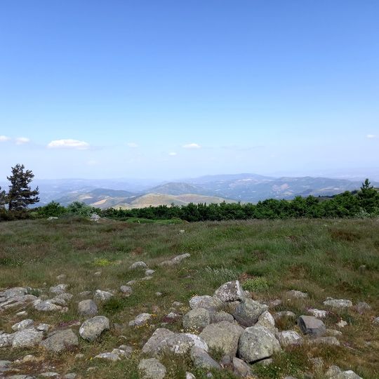
Le Champ de Mars, Mountain summit in Ardèche, France
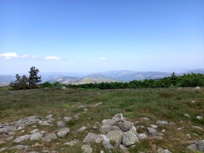
Le Champ de Mars is a 1,343-metre summit in the Ardèche department, within the Massif central and the Monts d'Ardèche Regional Nature Park. It lies at the meeting point of Saint-Julien-du-Gua, Marcols-les-Eaux and Genestelle, above the source of the Auzène, in the Pradou state forest south of the Rauset woods.
The granite bedrock at the summit originated from a major continental collision around 300 million years ago that created the ancient mountain range. This geological event shaped the solid rock formations that dominate the peak today.
The summit lies at the meeting point of three communes: Saint-Julien-du-Gua, Marcols-les-Eaux and Genestelle. The name Champ de Mars, shared with the Paris esplanade, refers to the Roman god of war rather than to any battlefield. The Auzène, a tributary of the Eyrieux, rises at the foot of the peak to the east.
Le Champ de Mars lies at the meeting point of Saint-Julien-du-Gua, Marcols-les-Eaux and Genestelle, 15 km south-east of Mont Gerbier-de-Jonc. The Auzène river rises at the foot of the summit, on its eastern side. The peak stands within the Monts d'Ardèche Regional Nature Park and the Pradou state forest, south of the Bois de Rauset.
Le Champ de Mars is a principal geodesy site, and its summit lies at the meeting point of three communes: Saint-Julien-du-Gua, Marcols-les-Eaux and Genestelle. The Auzène, a tributary of the Eyrieux, rises at the foot of the peak to the east.
The community of curious travelers
AroundUs brings together thousands of curated places, local tips, and hidden gems, enriched daily by 94,760 contributors worldwide.