Mont Doville, Mountain summit in Doville, France
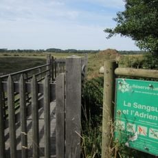
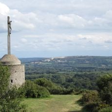
Mont Doville is a 129-meter (423 ft) summit made of Armorican sandstone rising above marshland in Normandy. The mountain sits within a regional nature park that protects the flat wetlands surrounding it.
The mountain became a battleground in early July 1944 when American forces attacked German defensive positions during the Normandy campaign. The fighting lasted several days and marked a turning point in the liberation of the region.
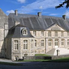
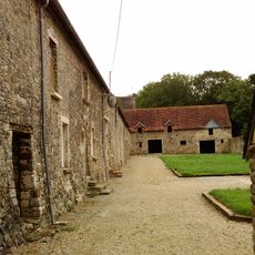
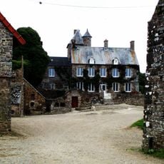
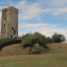
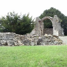
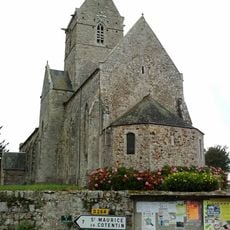
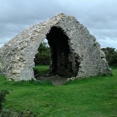
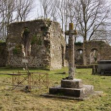
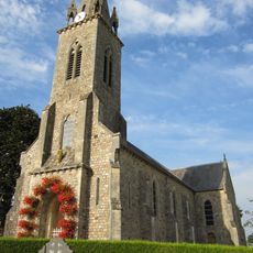
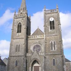
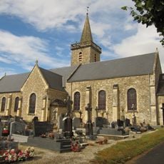
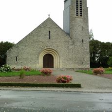
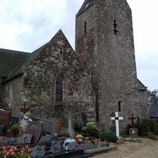
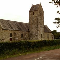
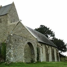
The mountain holds reminders of how people once lived and worked here, with a ruined mill, an old guardhouse, and a chapel scattered across its slopes. These structures tell stories about the different communities who made use of this place over time.
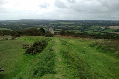
A marked walking trail circles the mountain and takes roughly an hour and a half to complete, with information panels placed along the route. Parking is available near the starting point, and the path is generally accessible to visitors throughout the year.
On clear days, visitors can spot the Channel Islands from the summit, making it one of the few places on the mainland where this distant view is possible. The outlook also sweeps across the flat marshlands and rolling hills surrounding the area.
Location: Manche
Elevation above the sea: 129 m
Made from material: sandstone
Website: http://geodesie.ign.fr/fiches/index.php?module=e&action=fichepdf&source=carte&sit_no=5016601
GPS coordinates: 49.32669,-1.56408
Latest update: December 14, 2025 20:32
Abbey of Saint-Sauveur-le-Vicomte
6.8 km
Abbaye de Blanchelande
3.7 km
Château d'Olonde
6.6 km
Château de la Haye-du-Puits
4 km
Réserve naturelle nationale des marais de la Sangsurière et de l'Adriennerie
2.7 km
Ancienne église de Saint-Sauveur-de-Pierrepont
2.2 km
Église Saint-Florent de Besneville
6.5 km
Corps de garde de Doville
394 m
Vestiges de l'ancienne église Saint-Thomas de Lithaire
6.3 km
Église Saint-Pierre de Bolleville
2.9 km
Église Sainte-Marguerite de Baudreville
5.5 km
Église Saint-Thomas de Lithaire
6.5 km
Église Saint-Jean-l'Évangéliste de La Haye-du-Puits
4.2 km
Chapelle Notre-Dame de Mont de Besneville
6.5 km
Église Saint-Martin de Varenguebec
5.1 km
Église Sainte-Trinité de Saint-Sauveur-de-Pierrepont
2.5 km
Église Saint-Malo de Canville-la-Rocque
5.5 km
Église de l'Assomption de Neufmesnil
2.4 km
Église abbatiale de la congrégation Sœurs de Sainte-Marie-Madeleine Postel de Saint-Sauveur-le-Vicomte
6.8 km
Église de Saint-Nicolas-de-Pierrepont
1.8 km
Église Saint-Ouen de Catteville
3.2 km
Église Saint-Claude de Selsoif
6.2 km
Église de Montgardon
5.2 km
Église de Saint-Symphorien-le-Valois
4.3 km
Église Saint-Rémy de Saint-Rémy-des-Landes
6.8 km
Église Saint-Jean-Baptiste de Taillepied
5.5 km
Église Saint-Martin de Neuville-en-Beaumont
3.5 km
Chapelle Notre-Dame de Doville
730 mVisited this place? Tap the stars to rate it and share your experience / photos with the community! Try now! You can cancel it anytime.
Discover hidden gems everywhere you go!
From secret cafés to breathtaking viewpoints, skip the crowded tourist spots and find places that match your style. Our app makes it easy with voice search, smart filtering, route optimization, and insider tips from travelers worldwide. Download now for the complete mobile experience.
A unique approach to discovering new places❞
— Le Figaro
All the places worth exploring❞
— France Info
A tailor-made excursion in just a few clicks❞
— 20 Minutes