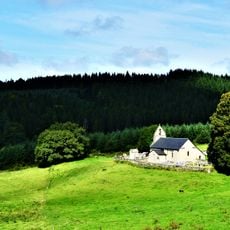
Mont Gargan, Mountain summit in Haute-Vienne, France
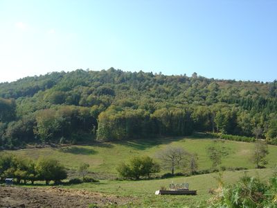
Mont Gargan rises 731 meters (2,398 feet) on the southeastern edge of Haute-Vienne, featuring heather moors, peat bogs, and ancient beech groves. A marked trail connects the landscape features and leads to the summit where orientation tables provide panoramic information.
The mountain served as a strategic location during World War II, where resistance fighters led by Georges Guingouin fought German forces in 1944. This armed presence shaped the region's local history and memory.
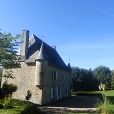
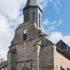
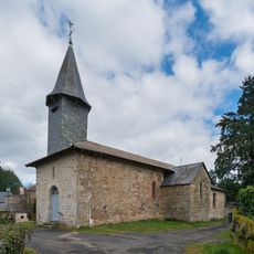
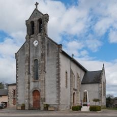
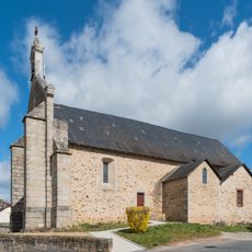
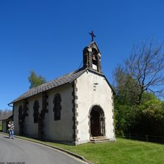
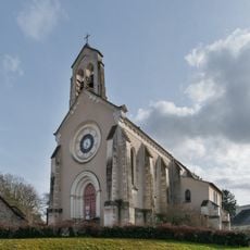
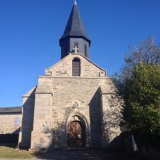
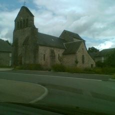
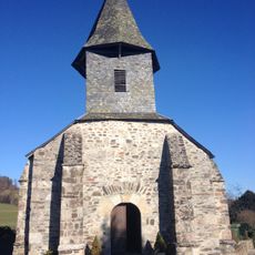
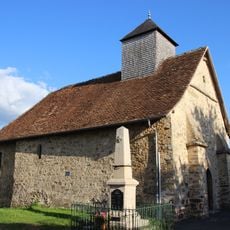
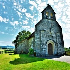
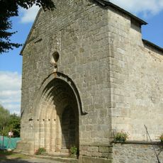
The Notre-Dame de Bon Secours chapel crowns the summit, built between 1868 and 1871 with local community support. It stands as a visible expression of the region's religious devotion.
A hiking path of about 2.2 kilometers takes visitors through the mountain's different areas, starting from a beech tree alley. The route is well-marked and leads upward to the summit with clear signage throughout.
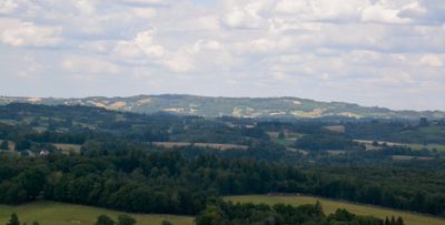
From the summit on clear days, visitors can see the Millevaches plateau, the Monédières massif, and distant peaks of the Monts d'Auvergne. This vantage point reveals several key landforms of central France's highlands in a single view.
The community of curious travelers
AroundUs brings together thousands of curated places, local tips, and hidden gems, enriched daily by 60,000 contributors worldwide.