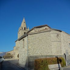
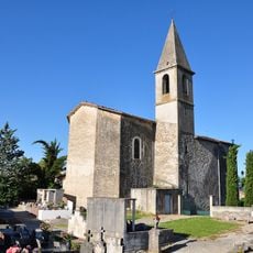
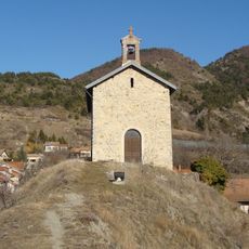
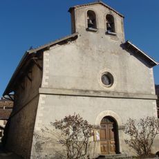
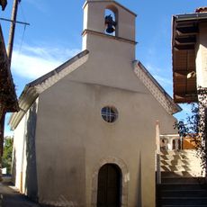
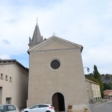
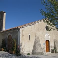
Montagne de Saint-Genis, Mountain summit in Hautes-Alpes, France.
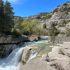
Montagne de Saint-Genis reaches 1,432 meters in the Southern Alps and displays an unusual geological formation called a perched syncline. The terrain features varied elevations and offers multiple pathways for hiking access from different directions.
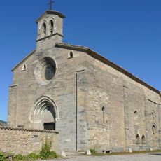
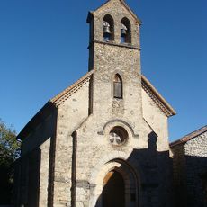
During World War II, the mountain served as a strategic meeting point for resistance fighters operating across the Hautes-Alpes region. This connection to recent history marks the location as a witness to the past.
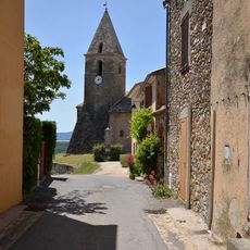
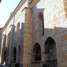
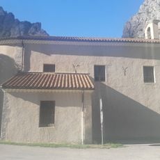
The mountain sits within the Baronnies Provençales Regional Nature Park, where paths wind through meadows and connect to local villages below. Residents and visitors find in this place a link to the outdoor traditions of the southern Alps.
Multiple marked trails provide access, with routes beginning from nearby settlements and offering varying distances depending on your chosen path. Visitors should bring appropriate gear and prepare for weather changes that occur in mountain terrain.
The site is part of the Natura 2000 protection network and contains specific ecological zones with rare plants and animals seldom noticed by casual visitors. These designated areas reveal unexpected diversity to those who observe carefully during their walk.
Location: Hautes-Alpes
Elevation above the sea: 1,432 m
Part of: Pays du Buëch
GPS coordinates: 44.39140,5.83750
Latest update: December 14, 2025 20:32
Gorges De La Méouge
13.1 kmPont médiéval de Châteauneuf-de-Chabre
13.2 km
Église de la Nativité-de-Notre-Dame de Lagrand
8.5 km
Église Notre-Dame-de-la-Nativité d'Upaix
8.8 km
Église de l'Assomption de La Bâtie-Montsaléon
9.9 km
Église Saint-Pierre de Claret
9.7 km
Église Saint-Arey de Serres
10.5 km
Église Notre-Dame-de-Val-Sainte de Barcillonnette
8.1 km
Église Saint-Barthélemy de Chabestan
10.5 km
Église Saint-Blaise de Thèze
10.5 km
Église d'Oze
12.9 km
Ancienne église sainte Madeleine de Vieil Eyguians
6.3 km
Église Notre-Dame-de-Beauvoir
13 km
Église de Saint-Auban-d'Oze
11.6 km
Église Saint-Laurent de Sigottier
13.4 km
Église saint Jacques-saint Philippe de Savournon
5 km
Église Saint-Vincent du Saix
9.4 km
Église du Plan du Bourg Villelongue
6.2 km
Église Saint-Martin-de-Tours de Laragne
8.8 km
Église de Méreuil
8.5 km
Église Saint-Antoine de Saléon
7.8 km
Église Saints-Pierre-et-Paul d'Esparron
8.7 km
Église Sainte-Agathe de Trescléoux
11 km
Château de Laragne
8.6 km
Église de la Nativité-de-la-Sainte-Vierge de Sigoyer
12.5 km
Town hall of Serres
10.6 km
Temple de Trescléoux
11.1 km
Chapelle Notre-Dame de la Visitation de Claret
11 kmVisited this place? Tap the stars to rate it and share your experience / photos with the community! Try now! You can cancel it anytime.
Discover hidden gems everywhere you go!
From secret cafés to breathtaking viewpoints, skip the crowded tourist spots and find places that match your style. Our app makes it easy with voice search, smart filtering, route optimization, and insider tips from travelers worldwide. Download now for the complete mobile experience.
A unique approach to discovering new places❞
— Le Figaro
All the places worth exploring❞
— France Info
A tailor-made excursion in just a few clicks❞
— 20 Minutes