Montagne de la Lance, Free flight site in Drôme, France.
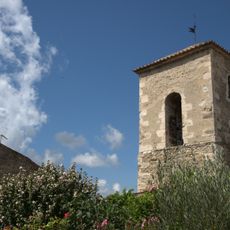
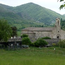
Montagne de la Lance is a mountain in Drôme, southeastern France, reaching 1,340 meters at its highest point. The terrain creates strong thermal currents that make it a popular spot for paragliding and hang-gliding activities throughout the year.
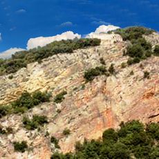
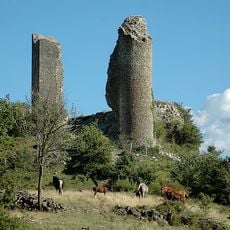
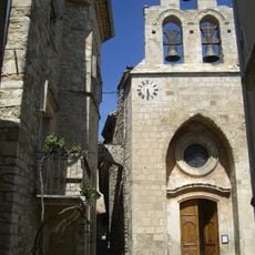
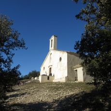
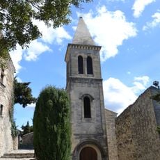
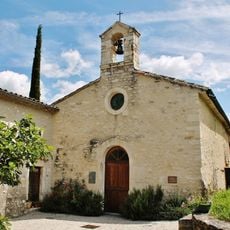
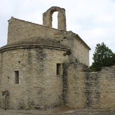
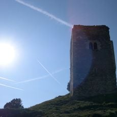
Celtic populations established the city of Aeria near the present-day location, leaving behind caves and ruins scattered across the central section. These archaeological remains show how ancient peoples valued the strategic position of this mountain ridge.
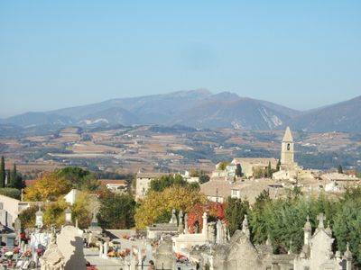
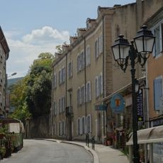
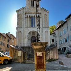
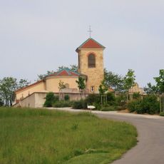
The mountain ridges mark the boundaries between seven municipalities: Teyssières, Montjoux, Roche-Saint-Secret-Béconne, Montbrison-sur-Lez, Le Pègue, Venterol, and Aubres.
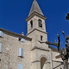
The trail from Teyssières starts along the yellow-marked Chemin des Favières and continues to Col de Coucourdet. From there, a red-yellow marked path leads to the summit with clear signposts at each stage.
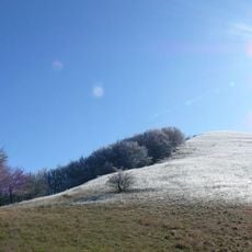
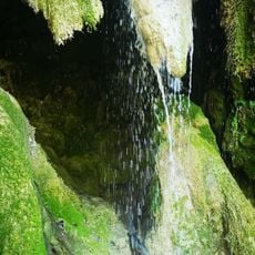
An ancient beech grove along the hiking trail is roughly 400 years old, while southern slopes support green oak forests that disappear on the northern side. This contrast in vegetation reflects how microclimate shapes the forest on different elevations.
The community of curious travelers
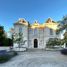
AroundUs brings together thousands of curated places, local tips, and hidden gems, enriched daily by 60,000 contributors worldwide.