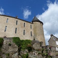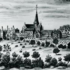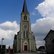
Oppidum of Moulay, Celtic fortified settlement in Moulay, France
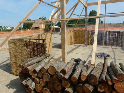
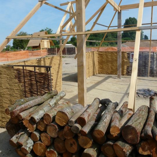
The Oppidum of Moulay is a Celtic fortified settlement at the confluence of the Mayenne and Aron rivers, its 135-hectare trapezoid enclosed by two ramparts. The first rampart, 380 m long, was originally 6 m high and 20 m wide, preceded by a ditch; the second, 1,200 m long, is a murus gallicus preserved to 2.50 m. Excavations uncovered roundhouses, granaries, bronze-working moulds and nearly 200 querns.
Excavations conducted between 2009 and 2011 revealed that this settlement functioned as the capital of the Aulerques Diablintes tribe. The site was an important center during the 2nd and 1st centuries BCE.
The arrangement of residential zones and craft areas shows how Celtic communities organized their daily activities across the settlement. Walking through different sections reveals how people lived and worked in separate spaces.
The site is spread over a large area, so comfortable shoes and plenty of time are recommended for your visit. Guided tours help explain the different sections and bring the settlement's history to life as you explore.
The 2004 road survey identified a second rampart 1,000 metres from the first, preserved to 2.50 metres high. This raised the enclosed area to 135 hectares, making Moulay the largest oppidum in the Armorican Massif and one of France's ten largest.
The community of curious travelers
AroundUs brings together thousands of curated places, local tips, and hidden gems, enriched daily by 94,394 contributors worldwide.