Enable Location

We need your location to show you interesting places around you

Discover nearby places

Find interesting locations and hidden gems around you

Precise directions

Get accurate directions and distances to places

Your location is never shared with other users. It's only used when you tap the location button.

Tuc de Crabèra

Log in to your account

Start exploring — it's free

Trusted by 61,919 travelers worldwide

Continue with Google
Continue with Apple
or

We will send you a code to connect

By continuing, you accept our Terms and Conditions and our Privacy Policy

Check your inbox

We've sent a pincode in your inbox. Please enter the code below.

Tuc de Crabèra

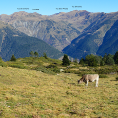
Tuc de Crabèra, Mountain summit between Sentein and Canejan, France and Spain

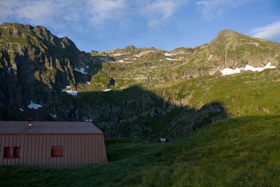
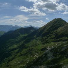
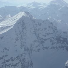
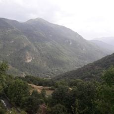
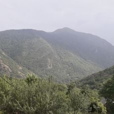
Tuc de Crabèra is a mountain in the Pyrenees standing at 2,630 meters on the border between France and Spain. The summit is composed of sandstone and lutite, rock types that create the distinctive geology of this section of the range.

The summit has marked the natural border between France and Spain for centuries due to its position in the Pyrenees. This role as a boundary point developed when medieval treaties established the mountain range as the official separation between the two nations.

Local mountaineering groups regularly include this peak in their catalogs, making it part of the FEEC100 list of recognized summits in Catalonia.

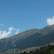
Hikers can reach the summit via marked paths from Sentein in France or from Canejan in Spain, depending on which side they approach from. The best season for climbing is June through September when trails are snow-free and conditions are suitable for mountain walking.

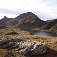
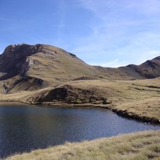
The peak rises only 54 meters above the nearby saddle and sits just 857 meters from its neighboring summit Tuc de Canejan. These modest distances show that the mountain is part of a continuous ridge rather than standing as an isolated peak.

The community of curious travelers

AroundUs brings together thousands of curated places, local tips, and hidden gems, enriched daily by 60,000 contributors worldwide.

Start exploring
Location
Location
Location
Elevation above the sea
2,630 m
Made from material
sandstone, lutite
Part of
liste des 100 sommets de la FEEC
GPS coordinates
42.82575,0.85849
Latest update
December 14, 2025 18:40
« Tuc de Crabèra - Mountain summit between Sentein and Canejan, France and Spain » is provided by Around Us (aroundus.com). Images and texts are derived from Wikimedia project under a Creative Commons license. You are allowed to copy, distribute, and modify copies of this page, under the conditions set by the license, as long as this note is clearly visible.

Discover hidden gems everywhere you go!

From secret cafés to breathtaking viewpoints, skip the crowded tourist spots and find places that match your style. Our app makes it easy with voice search, smart filtering, route optimization, and insider tips from travelers worldwide. Download now for the complete mobile experience.

Around Us App Screenshot

A unique approach to discovering new places

Le Figaro

All the places worth exploring

France Info

A tailor-made excursion in just a few clicks

20 Minutes

Around Us
Travel Guide & Maps
Download

Send to your phone

QR Code
1

Open the camera app on your mobile.

2

Point at the QR code with your camera. A notification will appear.

3

Tap the notification to open the link.