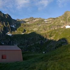
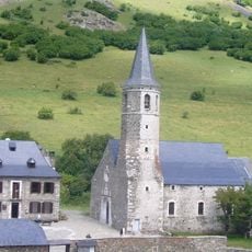
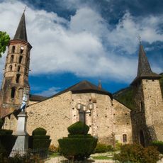
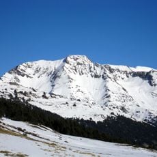
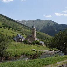
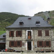
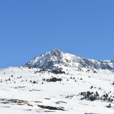
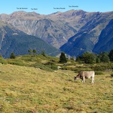
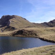
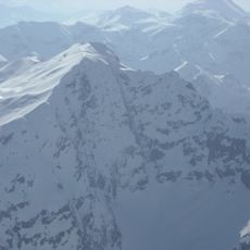
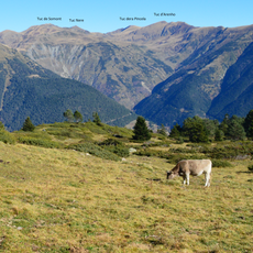
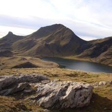
Tuc der Òme, Mountain summit in Ariège, France and Naut Aran, Spain.
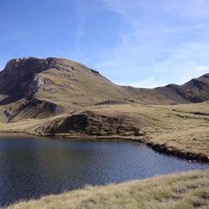
Tuc der Òme is a 2,732 m summit on the Pyrenees watershed between Naut Aran in the Val d'Aran (Lleida) and the Ariège department in France, with a prominence of 197 m. The usual route leaves Bagerque along a forest track beside the Unhòla river to Plan deth Horn, then follows the GR-211 past Lac de Montoliu at 2,373 m to the top. Nearby rise Tuc Mauberme (2,881 m), Tuc de Montoliu (2,691 m) and Tuc des Crabes (2,580 m).
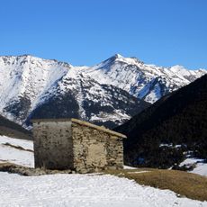
The sources record no memorial or climbing accident on Tuc der Òme; the summit's documented history is cartographic. It appears as a 2,732 m Pyrenean peak with 197 m of prominence on the border between Naut Aran (Vall d'Aran, Lleida) and the Ariège department. Its north side drains toward Castillon-en-Couserans in France, its south side toward the Unhòla valley above Bagerque.
The name Tuc der Òme is Aranese, the Gascon Occitan variety spoken in the Val d'Aran, where òme means "man"; the peak is also known in Catalan as Pico de l'Home. The summit lies on the watershed between the Aranese municipality of Naut Aran and the Ariège, so shepherds and walkers on either side use different languages for the same ridge.
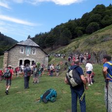
The route starts at Bagerque and follows a forest track beside the Unhòla river to Plan deth Horn, then the GR-211 trail past Lac de Montoliu at 2373 m to the summit. The climb is long and exposed, so carry warm, waterproof clothing; snow can linger near the lake into warmer months.
The summit's 197 m prominence is modest, but the abandoned mines of Deth Pòrt d'Urets at 2,536 m lie just northeast of Lac de Montoliu on the ascent route, a spot many walkers pass without noticing.
The community of curious travelers
AroundUs brings together thousands of curated places, local tips, and hidden gems, enriched daily by 94,558 contributors worldwide.