Ariège

Log in to your account

AroundUs is a community-driven map of interesting places, built by curious explorers like you. It grows with every review, story, and photo you share.
Connect to save your favorite spots, contribute locations, and create personalized routes.
Continue with Google
Continue with Apple
Continue with X
Continue with Facebook
Continue with email
By continuing, you accept our Terms and Conditions and our Privacy Policy
Create an account
Add to collection
Map
Suggest a change
Share

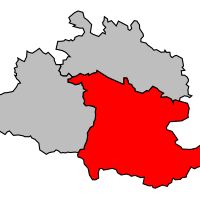
Ariège, Department in Occitanie region, France

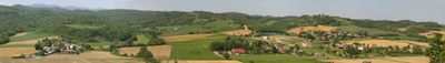
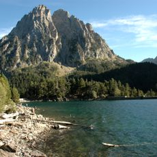
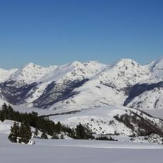
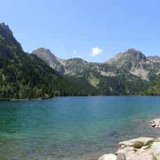
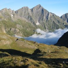
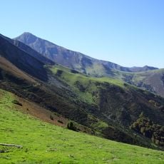
Ariège is an administrative territory in the southern part of the Occitanie region, stretching from the plains near Toulouse to the high Pyrenees. The area includes three districts centered on the towns of Foix, Pamiers, and Saint-Girons, and contains several hundred municipalities of varying sizes.

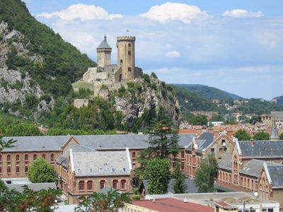
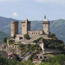
The territory was established on March 4, 1790, during the French Revolution through the merging of the former counties of Foix and Couserans. The town of Foix was designated as the administrative center and has remained the central place for the region ever since.

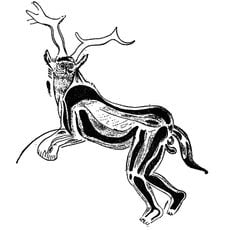
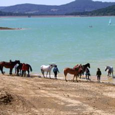
The inhabitants maintain traditional agricultural practices like transhumance, moving livestock between valleys and mountain pastures according to seasonal patterns.

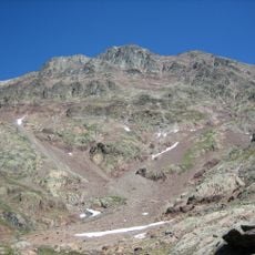
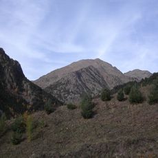
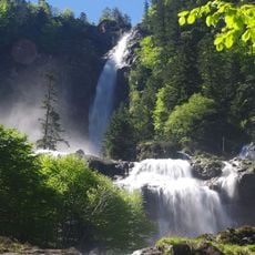
The area is suitable for walks along marked trails leading to peaks above 3000 meters (around 9840 feet), fishing spots by trout streams, and cycling paths following former Tour de France stages. Conditions shift with the seasons: summer months offer easier access to higher elevations, while autumn and spring are more comfortable for lower valleys.

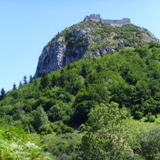
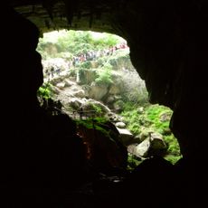
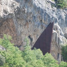
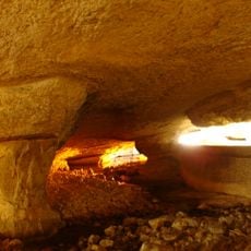
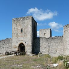
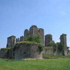
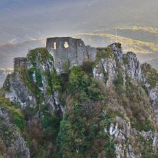
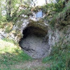
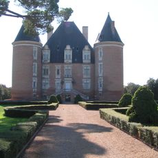
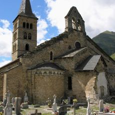
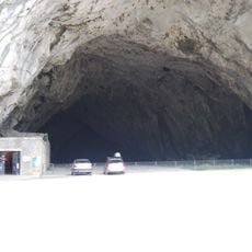
Numerous prehistoric caves and Cathar castles are located throughout the territory, which also served as an escape route through the Pyrenees during World War II. Several mountain passes were used by people trying to reach Spain, often aided by local networks.

Location: Occitania

Inception: March 4, 1790

Capital city: Foix

Reference: 09

Shares border with: Haute-Garonne, Aude, Pyrénées-Orientales, Province of Lleida

Address: Ariège, France

Website: http://ariege.fr

GPS coordinates: 43.00000,1.50000

Latest update: December 15, 2025 00:49

Photos
Reviews

Visited this place? Tap the stars to rate it and share your experience / photos with the community! Try now! You can cancel it anytime.

« Ariège - Department in Occitanie region, France » is provided by Around Us (aroundus.com). Images and texts are derived from Wikimedia project under a Creative Commons license. You are allowed to copy, distribute, and modify copies of this page, under the conditions set by the license, as long as this note is clearly visible.

Discover hidden gems everywhere you go!

From secret cafés to breathtaking viewpoints, skip the crowded tourist spots and find places that match your style. Our app makes it easy with voice search, smart filtering, route optimization, and insider tips from travelers worldwide. Download now for the complete mobile experience.

Around Us App Screenshot

A unique approach to discovering new places

Le Figaro

All the places worth exploring

France Info

A tailor-made excursion in just a few clicks

20 Minutes