Aigüestortes i Estany de Sant Maurici National Park, National park in Catalonia, Spain.
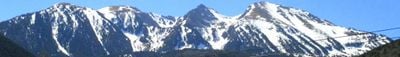
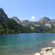
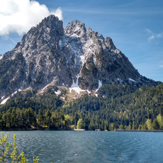
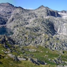
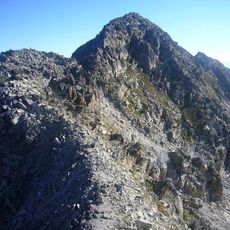
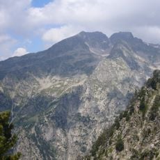
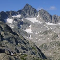
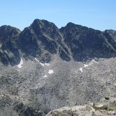
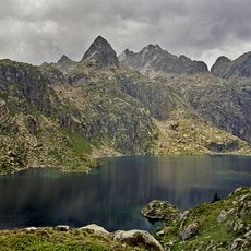
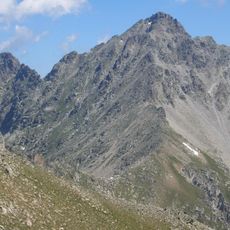
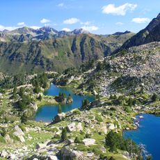
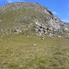
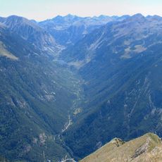
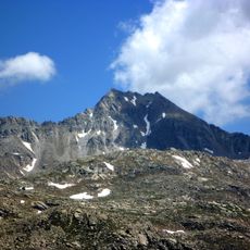
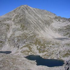
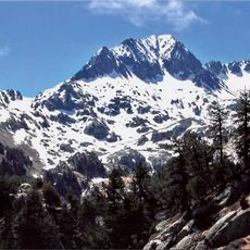
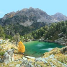
Aigüestortes i Estany de Sant Maurici National Park is a protected area in the Catalan Pyrenees with more than 200 glacial lakes, numerous streams and waterfalls spread across roughly 14,119 hectares. The terrain rises from 1,200 to 3,000 meters (about 3,900 to 9,800 feet) and includes alpine meadows, pine forests and bare granite cliffs.
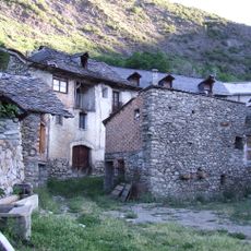
The park gained official national status on October 21, 1955, making it the first designated protected site in Catalonia under Spanish law. Before that decision, village communities used the area for centuries as grazing land and a source of timber until conservation efforts stepped in.
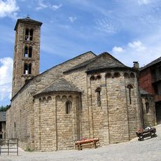
The Catalan name translates to something like twisting waters and refers to the way streams carve through the rock in narrow channels. Local shepherds still bring livestock to summer pastures in certain valleys, keeping alive a tradition that has shaped the land for centuries.
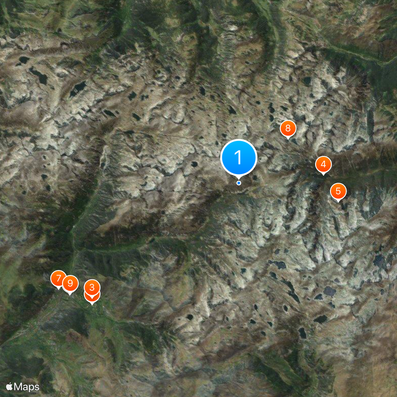
Visitors must leave their vehicles at designated parking areas in Espot or Boí and can then walk or take reserved four-wheel-drive taxis to reach the extensive trail system. Trails range from short loops around lakes to multi-day hikes across mountain ridges, with some routes staying snow-free from June through October.
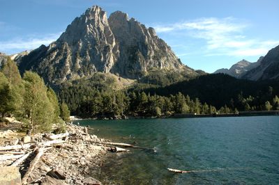
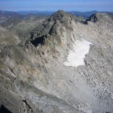
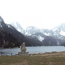
Els Encantats, two peaks of nearly matching shape, rise above Sant Maurici Lake and form a striking granite rock formation that dominates the view. Some of the shallower lakes freeze solid in winter and turn into mirror-smooth sheets of ice framed by snowy summits.
The community of curious travelers
AroundUs brings together thousands of curated places, local tips, and hidden gems, enriched daily by 60,000 contributors worldwide.