Occitania, Administrative region in southern France
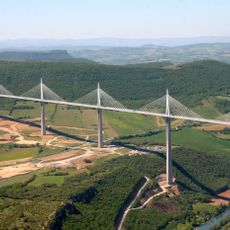
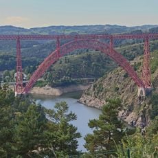
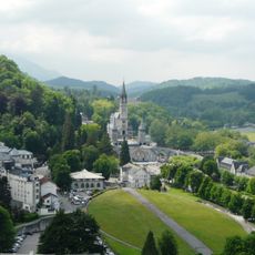
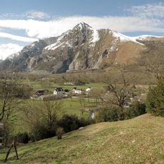
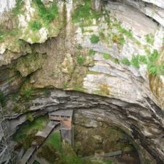
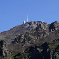
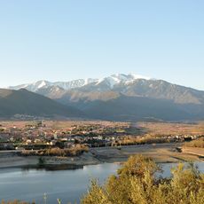
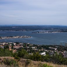
Occitania is an administrative region in southern France that extends from the Pyrenees to the Mediterranean Sea, with Toulouse as its capital. The territory comprises thirteen departments with landscapes ranging from mountain ranges to plateaus and coastal strips.
The current administrative region formed in 2016 through the merger of Languedoc-Roussillon and Midi-Pyrénées under French territorial reforms. This consolidation aimed to reduce the number of regions and increase their economic strength.
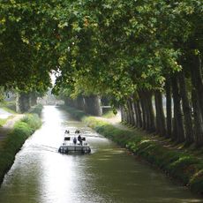
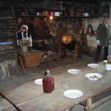
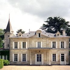
Local markets display regional products like mountain cheese and wines from the plains, while people in many villages still speak and maintain the Occitan language. On festival days you can see traditional dances and hear old songs passed down through generations, especially in rural areas.
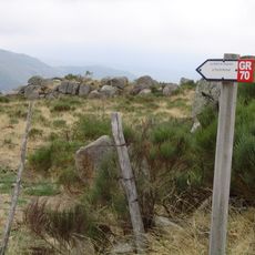
The region is easily accessible from Spain via road and from Mediterranean ports by ferry or train. For travel within the area, visitors use trains between larger cities or cars for remote villages in the mountains.
Toulouse hosts the European center of the aerospace industry with companies like Airbus and the national space research center. Visitors can tour production facilities where aircraft parts are assembled and satellites are tested.
The community of curious travelers
AroundUs brings together thousands of curated places, local tips, and hidden gems, enriched daily by 60,000 contributors worldwide.