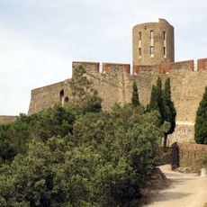
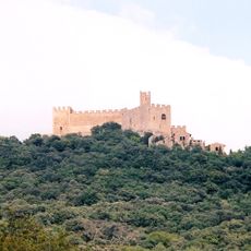
Pyrénées-Orientales, Department in Occitania, France
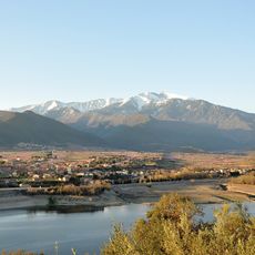
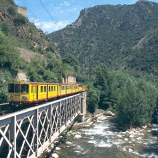
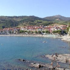
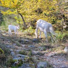
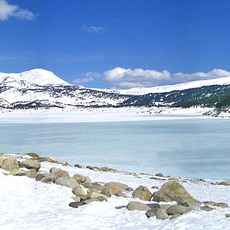
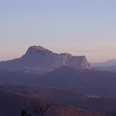
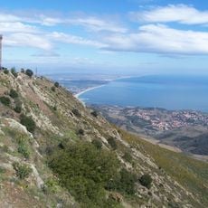
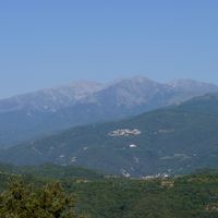
Pyrénées-Orientales is an administrative area in Occitania in southern France that stretches from the Mediterranean coast to mountain slopes. The territory covers three main valleys carved by rivers and forms a mix of coastline, plains, and highlands.
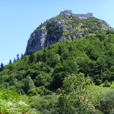
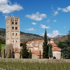
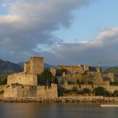
The administrative area was created in 1790 during the Revolution as part of the new French structure and integrated lands that had previously belonged to the County of Roussillon and to Catalonia. The border drawing followed the 1659 agreement that transferred the territory north of the mountains to France.
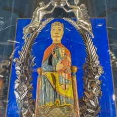
The name of the county refers to its position on the eastern edge of the mountain range and residents here often switch between both languages in daily conversations. Local markets sell Catalan specialties and on feast days you can see traditional sardana dances performed in public squares.
Travelers reach the area through Perpignan as the main gateway with airport and train station or use road connections from Barcelona and Toulouse. The best time to visit depends on your goal: coast in summer, mountains in winter, or spring for hiking.
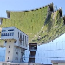
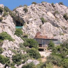
In Odeillo stands a giant parabolic mirror that focuses sunlight to study materials at extreme temperatures. The facility was built in the 1960s and still serves scientific experiments on solar energy today.
The community of curious travelers
AroundUs brings together thousands of curated places, local tips, and hidden gems, enriched daily by 60,000 contributors worldwide.